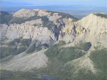
Fort Nelson to Norman Wells, 7-25-02
Back to Alaska 2002-
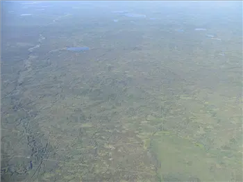 Lots of Trees
 -
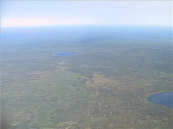 Those lines are called cut lines. I'm not sure what they're for.
 -
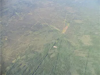 Cut Lines
 -
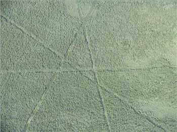 Cut Lines
 -
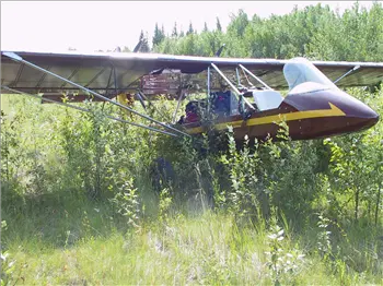 Petitot - unattended airport
 -
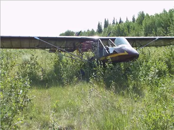 Petitot - unattended airport
 -
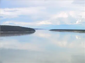 McKenzie River, one of the biggest in the world. It runs north into the Arctic Ocean.
 -
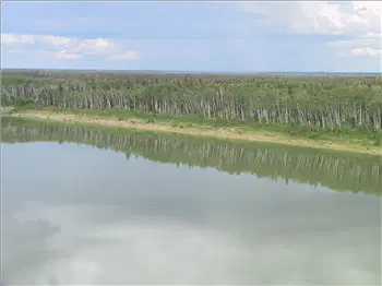 McKenzie River, one of the biggest in the world. It runs north into the Arctic Ocean.
 -
-
-
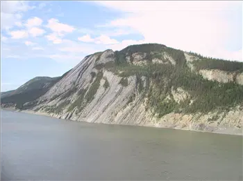 McKenzie River
 -
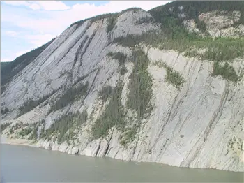 McKenzie River
 -
-
-
-
-
-
-
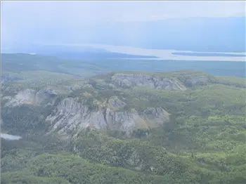
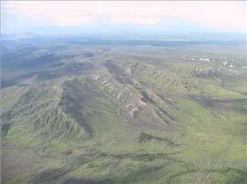
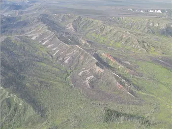
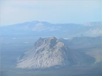
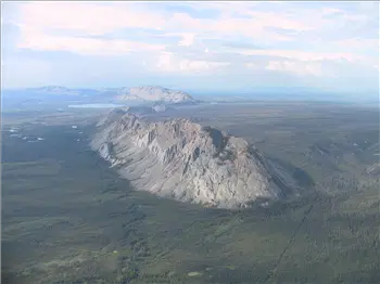
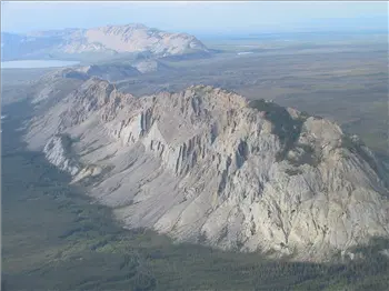
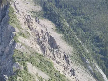
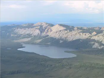
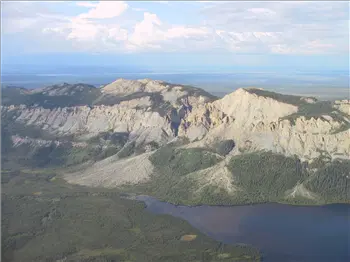
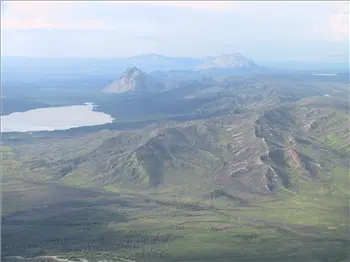 Mountains south of Norman Wells
 -
-
-
-
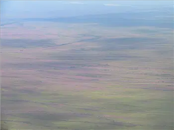
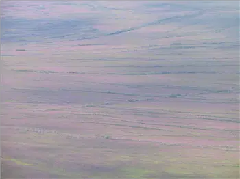
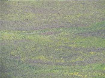
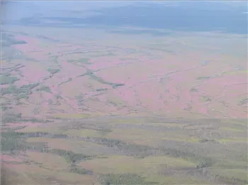
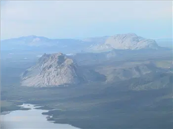 The light made some of these look like paintings.
 -
-
-
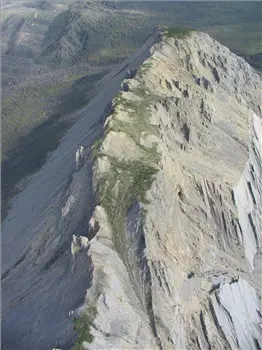 Looking South
 -
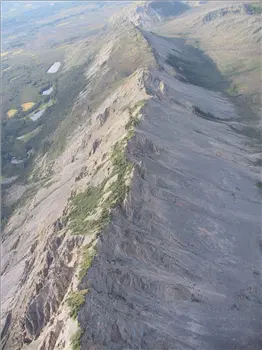 Looking North
 -
-
-
-
