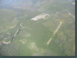
Livengood Camp
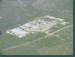
Livengood Camp. I guess this is where people went / go to work on the pipeline, but I'm not sure.
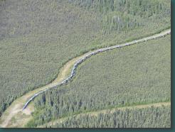
Alaska Pipeline. It goes from Deadhorse to Valdez.
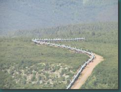
Alaska Pipeline. It goes from Deadhorse to Valdez.
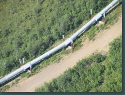
Alaska Pipeline. It goes from Deadhorse to Valdez.
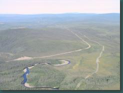
The Dalton Highway goes from Fairbanks to Deadhorse, along the pipeline.
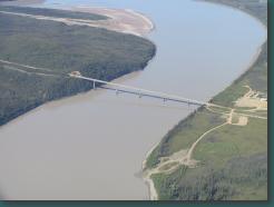
Here's the last bridge across the Yukon River, even though it's more than 500 miles to the ocean.
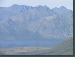
The Brooks Range. I never did get across this, because the weather and/or forecast was never good.
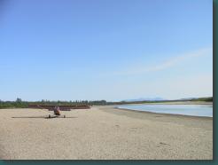
This is the Kobuk River, a little north of the Arctic Circle.
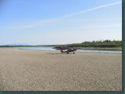
Kobuk River, a little north of the Arctic Circle.
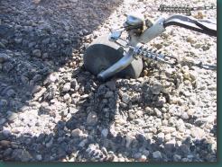
The gravel was a little soft.
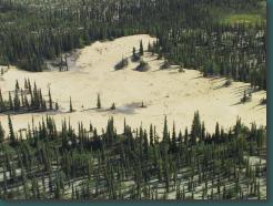
The Kobuk Sand Dunes
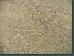
Tundra near Kotzebue
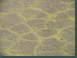
Tundra near Kotzebue
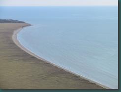
The Bering Sea
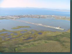
Kotzebue