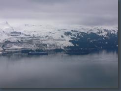
Valdez oil terminal
5/13/2006 7:42:00 PM
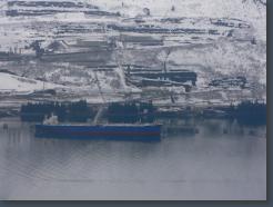
Valdez oil terminal
5/13/2006 7:42:00 PM
5/13/2006 7:42:00 PM
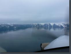
Bay of Valdez
5/13/2006 7:43:00 PM
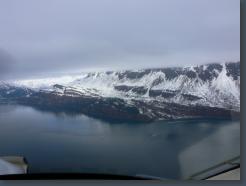
Bay of Valdez
5/13/2006 7:43:00 PM
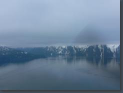
Bay of Valdez
5/13/2006 7:43:00 PM
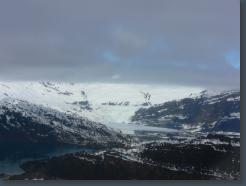
Shoup Glacier
5/13/2006 7:44:00 PM
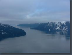
The Valdez Narrows
5/13/2006 7:44:00 PM
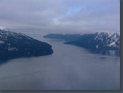
The Valdez Narrows
5/13/2006 7:44:00 PM
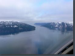
The Valdez Narrows
5/13/2006 7:44:00 PM
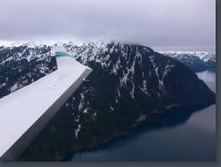
5/13/2006 7:46:00 PM
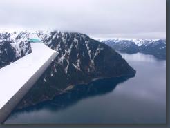
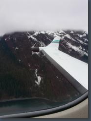
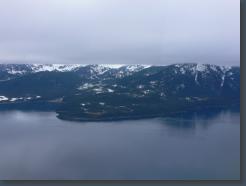
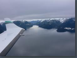
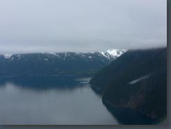
Valdez Narrows
5/13/2006 7:46:00 PM
5/13/2006 7:46:00 PM
5/13/2006 7:46:00 PM
5/13/2006 7:46:00 PM
5/13/2006 7:46:00 PM
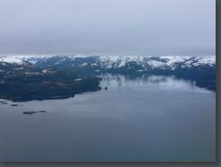
Jack Bay (I think)
5/13/2006 7:48:00 PM
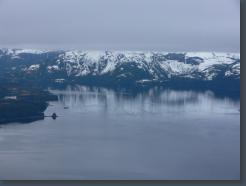
Jack Bay (I think)
5/13/2006 7:48:00 PM
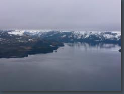
Jack Bay (I think)
5/13/2006 7:48:00 PM
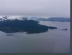
5/13/2006 7:48:00 PM
5/13/2006 7:50:00 PM
5/13/2006 7:50:00 PM
5/13/2006 7:50:00 PM
5/13/2006 7:50:00 PM
5/13/2006 7:51:00 PM
5/13/2006 7:52:00 PM
Low Ceiling
5/13/2006 7:52:00 PM
Copper River delta (I think)
5/13/2006 8:06:00 PM
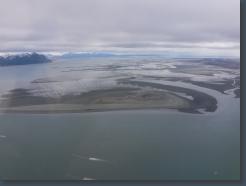
Copper River delta (I think)
5/13/2006 8:06:00 PM
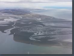
Copper River delta (I think)
5/13/2006 8:06:00 PM
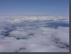
5/13/2006 8:20:00 PM
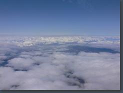
5/13/2006 8:20:00 PM
5/13/2006 8:20:00 PM
5/13/2006 8:22:00 PM
5/13/2006 8:22:00 PM
That tall one might be Mount Logan
5/13/2006 8:22:00 PM
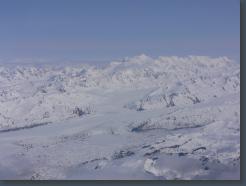
That tall one might be Mount Logan
5/13/2006 8:25:00 PM
-map-
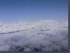
That tall one might be Mount Logan
5/13/2006 8:25:00 PM
-map-
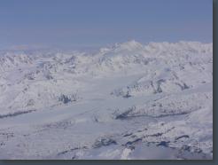
That tall one might be Mount Logan
5/13/2006 8:25:00 PM
-map-
5/13/2006 8:25:00 PM
-map-
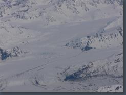
5/13/2006 8:25:00 PM
-map-
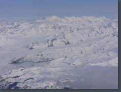
5/13/2006 8:26:00 PM
-map-
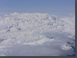
5/13/2006 8:26:00 PM
-map-
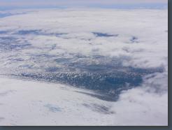
5/13/2006 8:26:00 PM
-map-
5/13/2006 8:26:00 PM
-map-
5/13/2006 8:27:00 PM
-map-
5/13/2006 8:27:00 PM
-map-
5/13/2006 8:27:00 PM
-map-
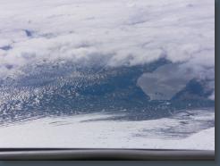
5/13/2006 8:27:00 PM
-map-
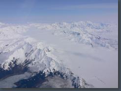
5/13/2006 8:27:00 PM
-map-
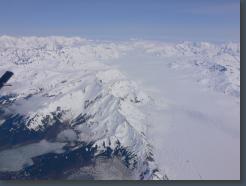
Steller Glacier
5/13/2006 8:28:00 PM
-map-
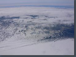
Bering Glacier
5/13/2006 8:28:00 PM
-map-
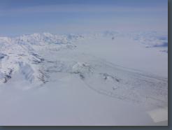
Bering Glacier
5/13/2006 8:28:00 PM
-map-
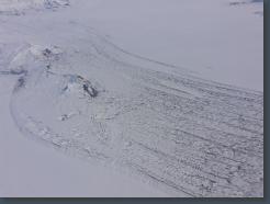
Bering Glacier
5/13/2006 8:29:00 PM
-map-
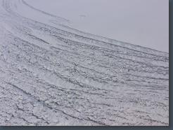
Bering Glacier
5/13/2006 8:29:00 PM
-map-
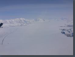
Bering Glacier
5/13/2006 8:30:00 PM
-map-
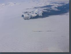
Bering Glacier
5/13/2006 8:30:00 PM
-map-
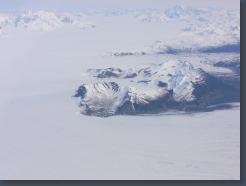
Bering Glacier
5/13/2006 8:30:00 PM
-map-
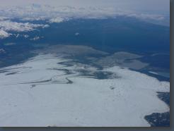
Bering Glacier
5/13/2006 8:31:00 PM
-map-
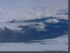
Bering Glacier
5/13/2006 8:31:00 PM
-map-
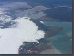
Bering Glacier
5/13/2006 8:32:00 PM
-map-
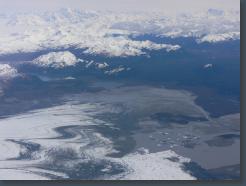
Bering Glacier
5/13/2006 8:32:00 PM
-map-
5/13/2006 8:32:00 PM
-map-
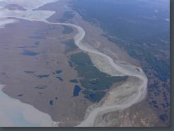
Bering Glacier
5/13/2006 8:33:00 PM
-map-
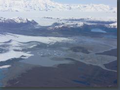
Bering Glacier
5/13/2006 8:33:00 PM
-map-
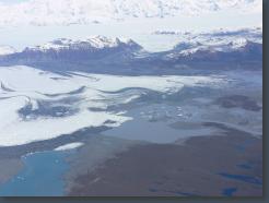
Bering Glacier
5/13/2006 8:33:00 PM
-map-
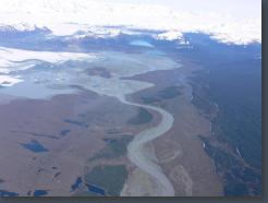
Bering Glacier
5/13/2006 8:33:00 PM
-map-
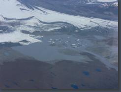
Bering Glacier
5/13/2006 8:33:00 PM
-map-
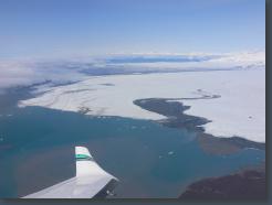
Bering Glacier
5/13/2006 8:33:00 PM
-map-
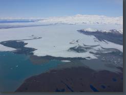
Bering Glacier
5/13/2006 8:33:00 PM
-map-
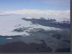
Bering Glacier
5/13/2006 8:33:00 PM
-map-
5/13/2006 8:36:00 PM
-map-
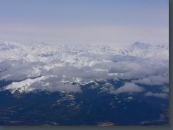
5/13/2006 8:36:00 PM
-map-
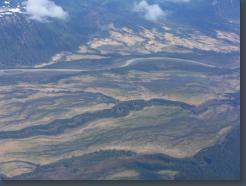
5/13/2006 8:37:00 PM
-map-
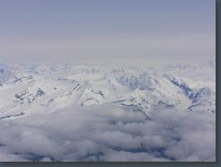
5/13/2006 8:41:00 PM
-map-
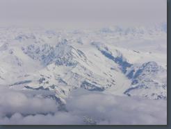
5/13/2006 8:41:00 PM
-map-
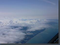
5/13/2006 8:41:00 PM
-map-
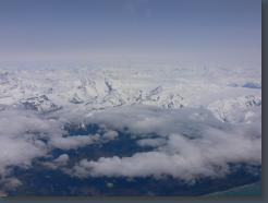
5/13/2006 8:43:00 PM
-map-
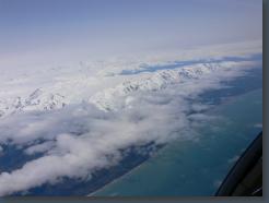
5/13/2006 8:43:00 PM
-map-
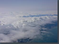
5/13/2006 8:44:00 PM
-map-
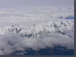
5/13/2006 8:45:00 PM
-map-
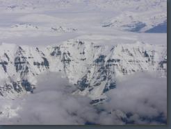
5/13/2006 8:46:00 PM
-map-
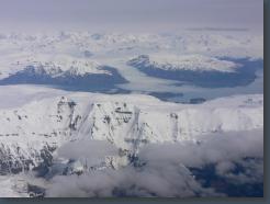
Yahtse Glacier
5/13/2006 8:47:00 PM
-map-
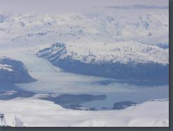
Yahtse Glacier
5/13/2006 8:47:00 PM
-map-
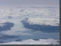
Yahtse Glacier
5/13/2006 8:49:00 PM
-map-
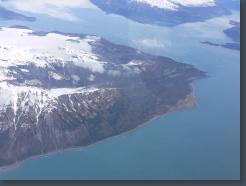
The west point of Icy Bay, with Taan Fjord in the upper right.
5/13/2006 8:49:00 PM
-map-
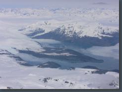
Guyot Glacier
5/13/2006 8:49:00 PM
-map-
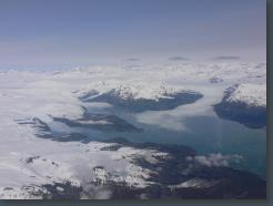
Guyot Glacier
5/13/2006 8:50:00 PM
-map-
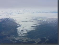
Malispina Glacier
5/13/2006 8:51:00 PM
-map-
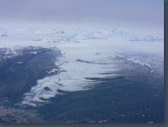
Malispina Glacier
5/13/2006 8:51:00 PM
-map-
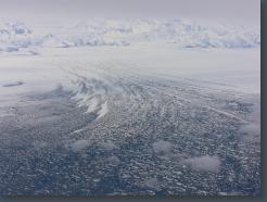
Malispina Glacier
5/13/2006 8:52:00 PM
-map-
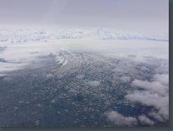
Malispina Glacier
5/13/2006 8:52:00 PM
-map-
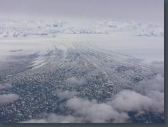
Malispina Glacier
5/13/2006 8:53:00 PM
-map-
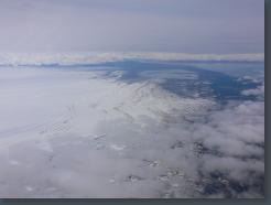
Malispina Glacier
5/13/2006 8:56:00 PM
-map-
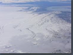
Malispina Glacier
5/13/2006 8:57:00 PM
-map-
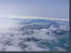
Malispina Glacier
5/13/2006 8:58:00 PM
-map-
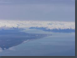
Hubbard Glacier
5/13/2006 9:00:00 PM
-map-
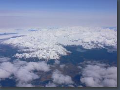
Novatak Glacier
5/13/2006 9:13:00 PM
-map-
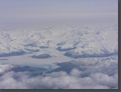
Alsek Glacier and River. Bear Island in the right foreground.
5/13/2006 9:17:00 PM
-map-
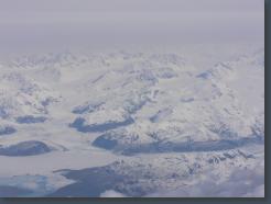
Alsek Glacier
5/13/2006 9:18:00 PM
-map-
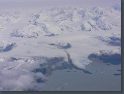
Grand Plateau Glacier
5/13/2006 9:20:00 PM
-map-
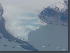
Grand Plateau Glacier
5/13/2006 9:20:00 PM
-map-
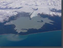
Grand Plateau Glacier
5/13/2006 9:21:00 PM
-map-
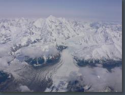
Fairweather Glacier and Mount Fairweather
5/13/2006 9:25:00 PM
-map-
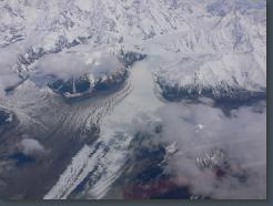
Fairweather Glacier
5/13/2006 9:25:00 PM
-map-
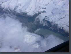
This is the small glacier between Fairweather Glacier and Lituya Glacier.
5/13/2006 9:27:00 PM
-map-
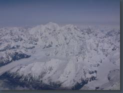
Mount Fairweather, Fairweather Glacier on the left
5/13/2006 9:27:00 PM
-map-
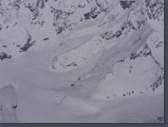
Near the head of the glacier between Fairweather and Lituya glaciers
5/13/2006 9:28:00 PM
-map-
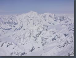
Mount Fairweather
5/13/2006 9:28:00 PM
-map-
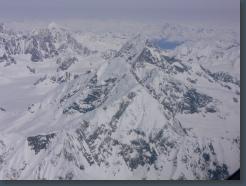
Lituya Mountain, foreground, and Mount Salisbury almost directly behind Lituya. Just past the right shoulder of Salisbury you can see a bit of Marjorie Glacier and Glacier Bay.
5/13/2006 9:28:00 PM
-map-
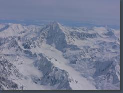
Mount Crillon, view to the east.
5/13/2006 9:28:00 PM
-map-
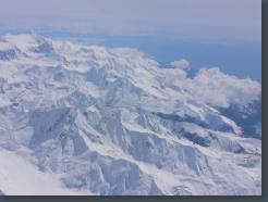
The mouth of Glacier Bay in the distance, taken from near Lituya Glacier. View Southeast.
5/13/2006 9:28:00 PM
-map-
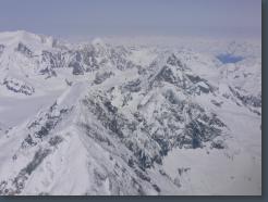
Lituya (foreground), Salisbury (behind and right of Lituya), Adams (upper left).
5/13/2006 9:29:00 PM
-map-
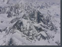
This mountain is NE of Quincy Adams, view northeast.
5/13/2006 9:29:00 PM
-map-
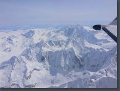
Crillon, just ahead of the wing, view southeast.
5/13/2006 9:30:00 PM
-map-
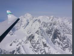
Fairweather, just ahead of the wing. View northwest.
5/13/2006 9:30:00 PM
-map-
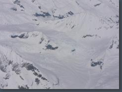
I think this is one of the tributaries to Marjerie Glacier
5/13/2006 9:30:00 PM
-map-
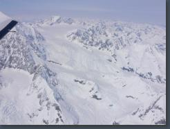
I think this is one of the tributaries to Marjerie Glacier
5/13/2006 9:31:00 PM
-map-
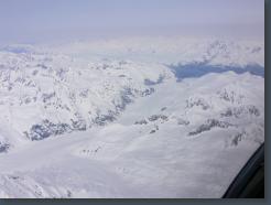
Marjerie Glacier
5/13/2006 9:31:00 PM
-map-
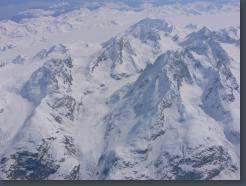
Mt. Cooper and/or Abbe, view southeast.
5/13/2006 9:31:00 PM
-map-
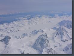
Mt. Cooper and/or Abbe, view southeast.
5/13/2006 9:32:00 PM
-map-
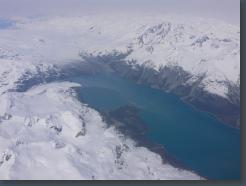
The end of Glacier Bay, Grand Pacific Glacier and Marjerie Glacier.
5/13/2006 9:33:00 PM
-map-
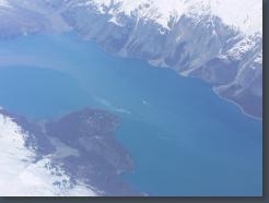
Grand Pacific Glacier in upper left.
5/13/2006 9:34:00 PM
-map-
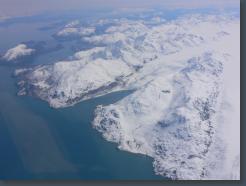
Reid Glacier (right) and Lamplugh Glacier
5/13/2006 9:34:00 PM
-map-
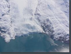
Lamplugh Glacier
5/13/2006 9:34:00 PM
-map-
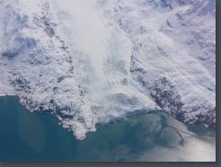
Lamplugh Glacier
5/13/2006 9:34:00 PM
-map-
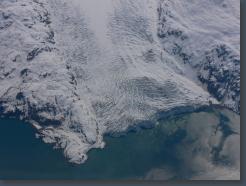
Lamplugh Glacier
5/13/2006 9:34:00 PM
-map-
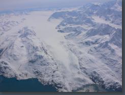
Lamplugh Glacier
5/13/2006 9:34:00 PM
-map-
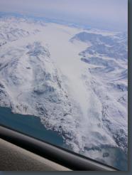
Lamplugh Glacier
5/13/2006 9:34:00 PM
-map-
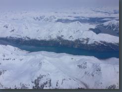
Rendu Inlet
5/13/2006 9:36:00 PM
-map-
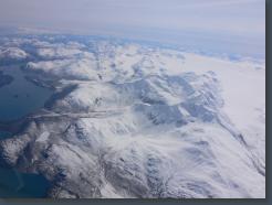
Brady Icefield (right) with the head of Reid Glacier.
5/13/2006 9:36:00 PM
-map-
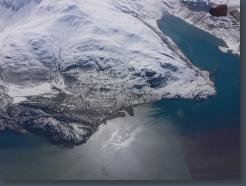
Reid Glacier, just ahead of the wingtip.
5/13/2006 9:36:00 PM
-map-
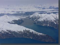
Queen Inlet
5/13/2006 9:36:00 PM
-map-
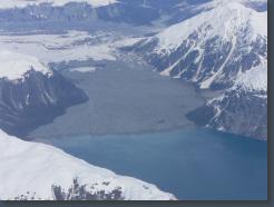
Queen Inlet
5/13/2006 9:36:00 PM
-map-
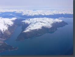
Tungit Point
5/13/2006 9:38:00 PM
-map-
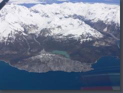
Just east of Composite Island, view East.
5/13/2006 9:38:00 PM
-map-
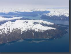
Tungit Point and Muir Inlet
5/13/2006 9:40:00 PM
-map-
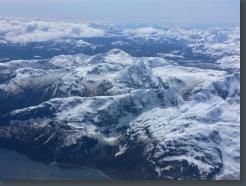
5/13/2006 9:41:00 PM
-map-
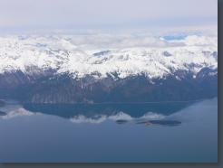
5/13/2006 9:42:00 PM
-map-
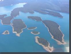
Beartrack Cove (top)
5/13/2006 9:45:00 PM
-map-
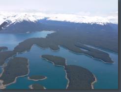
Beartrack Cove (top)
5/13/2006 9:45:00 PM
-map-


