Three Forks, Montana to Pasco, Washington
Back to xpda.com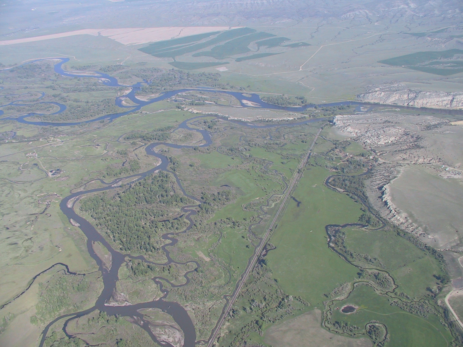
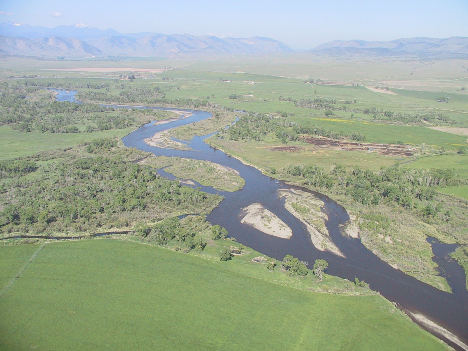
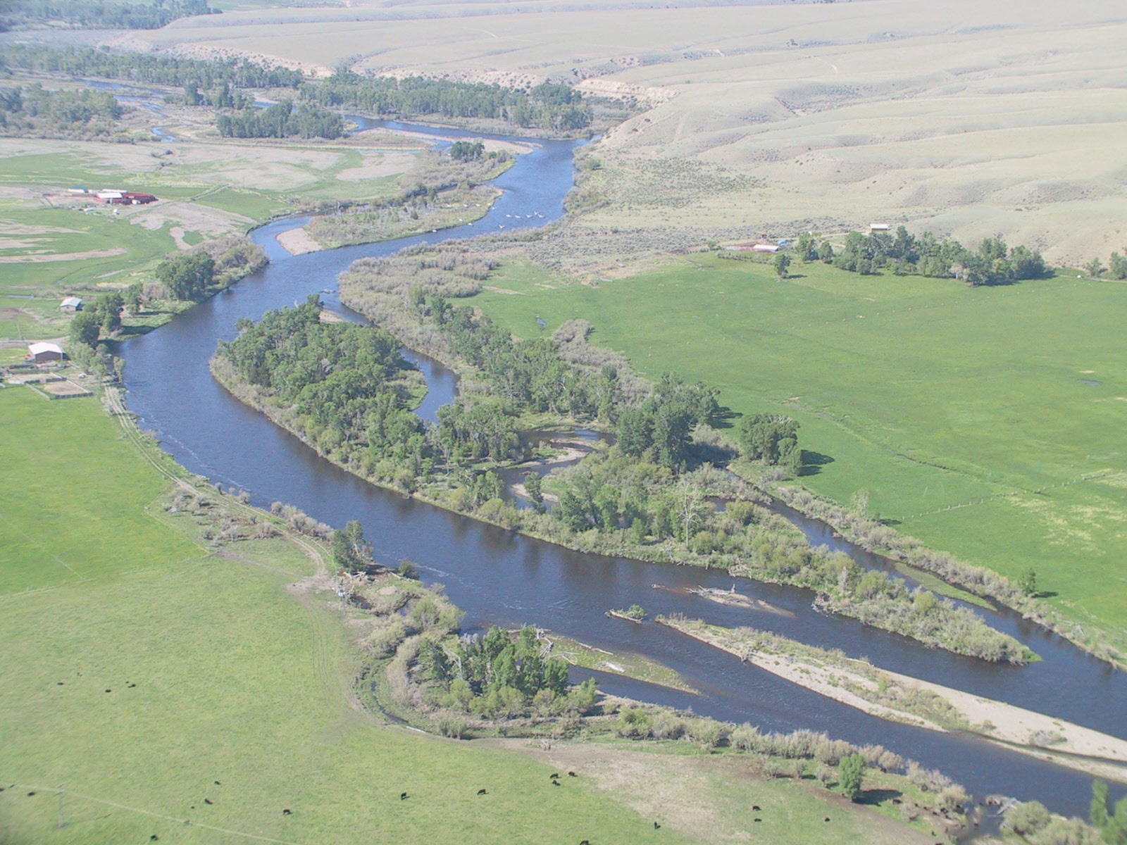
This is the upper end of the Missouri River. The three rivers on the left, the Jefferson, the Madison, and the Gallatin, meet here to form the Missouri.

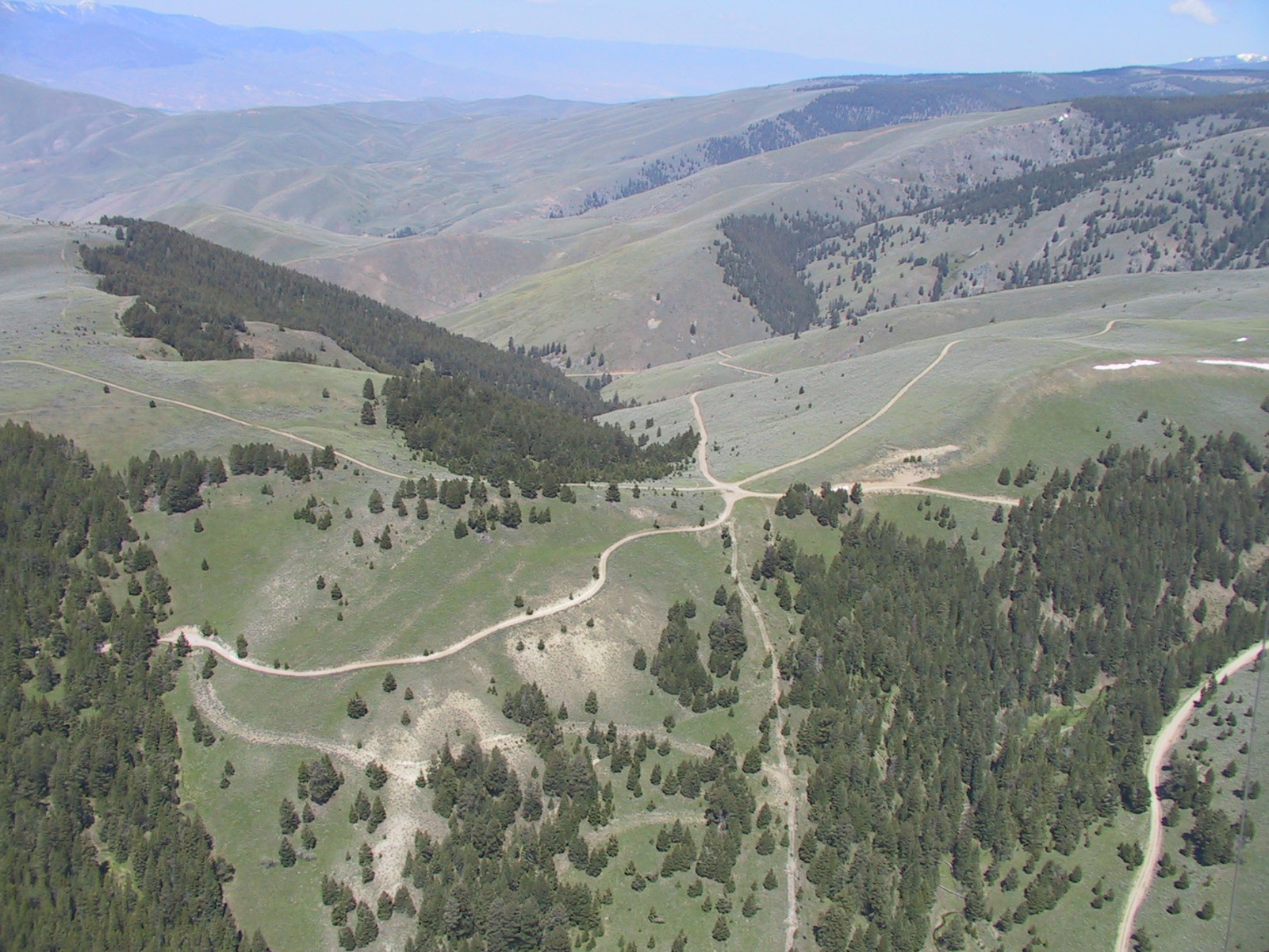
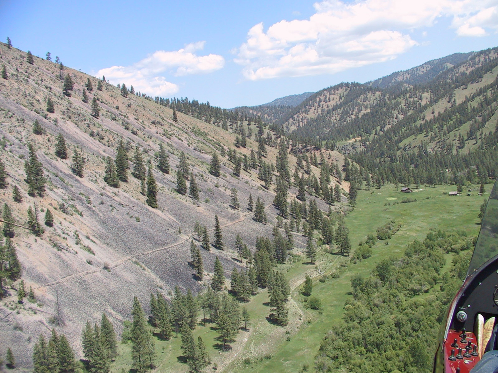
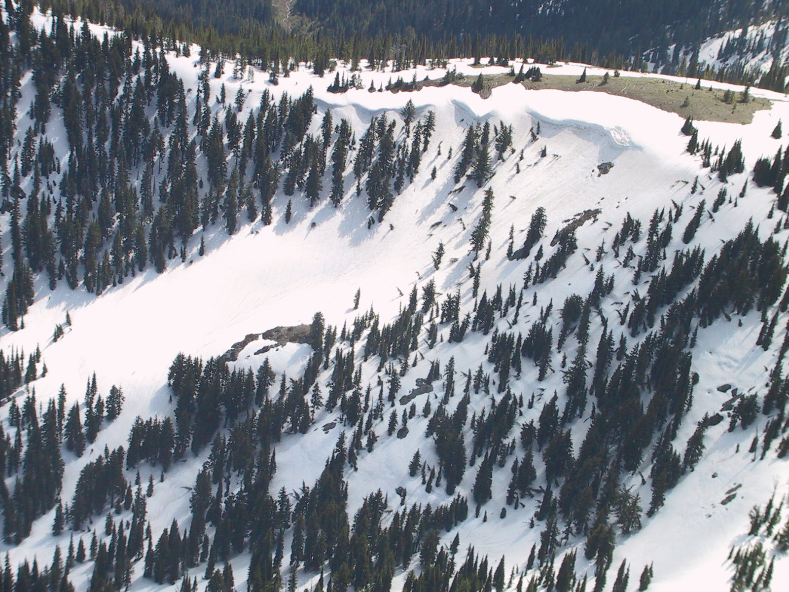
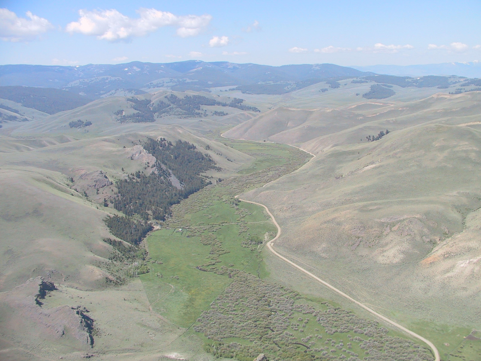
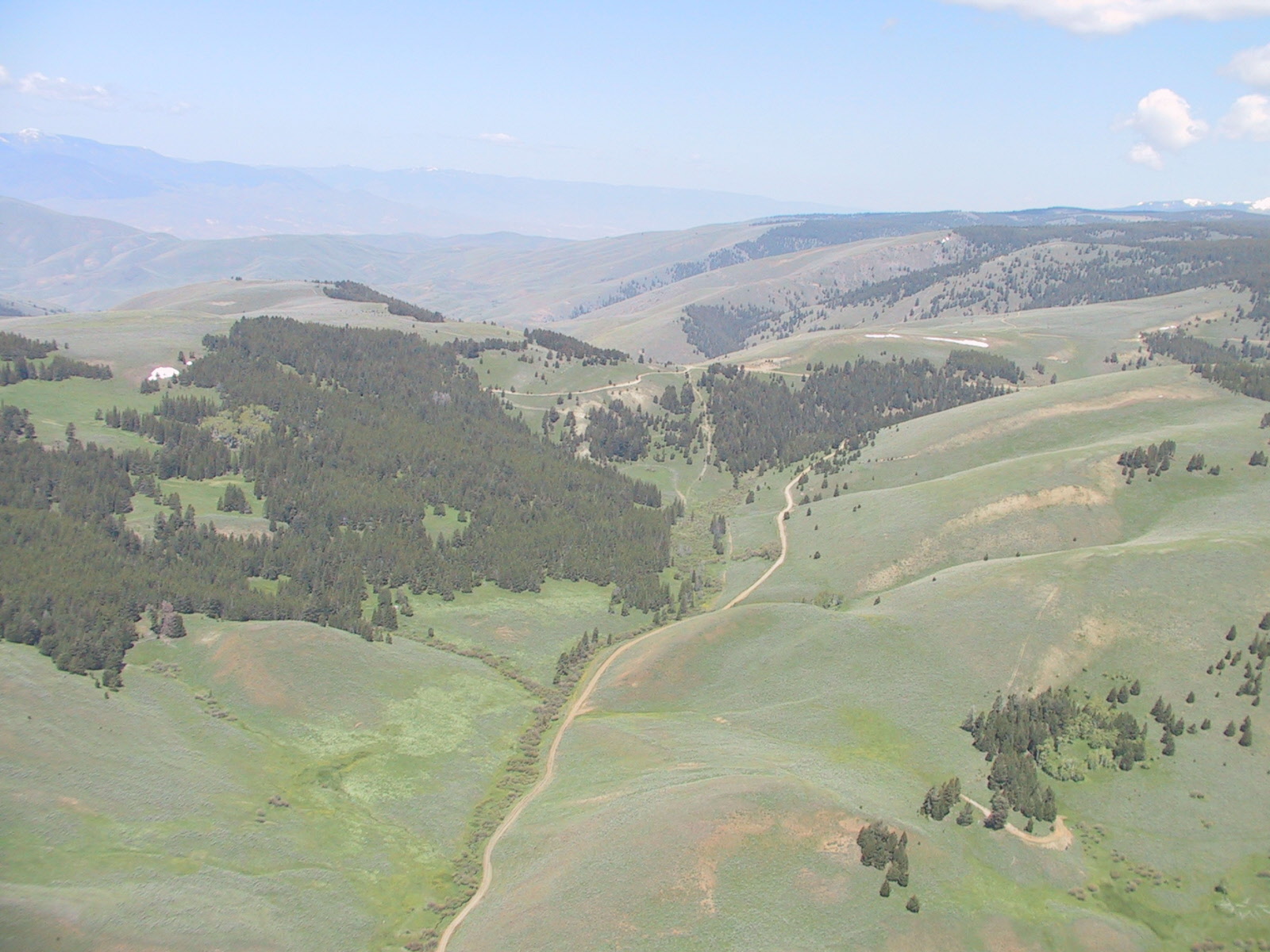
Lemhi Pass, where the expedition crossed the Continental Divide.


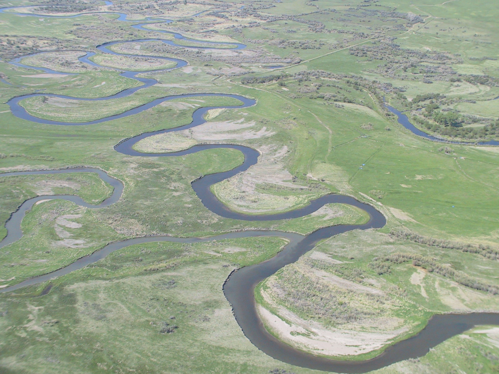
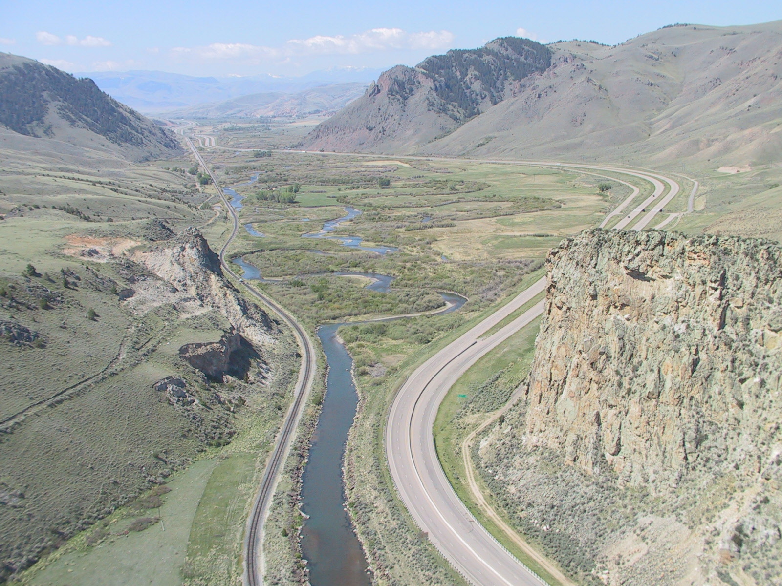
This picture starts back over at Three Forks going to Pasco (Different camera. I was too lazy to combine them.)

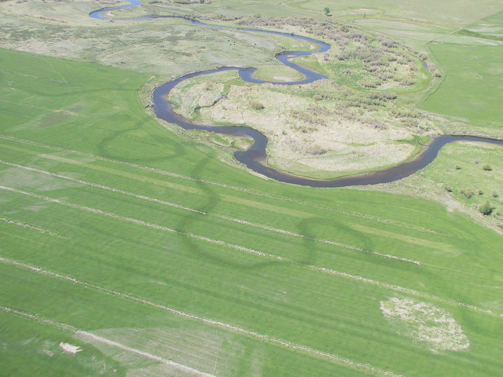
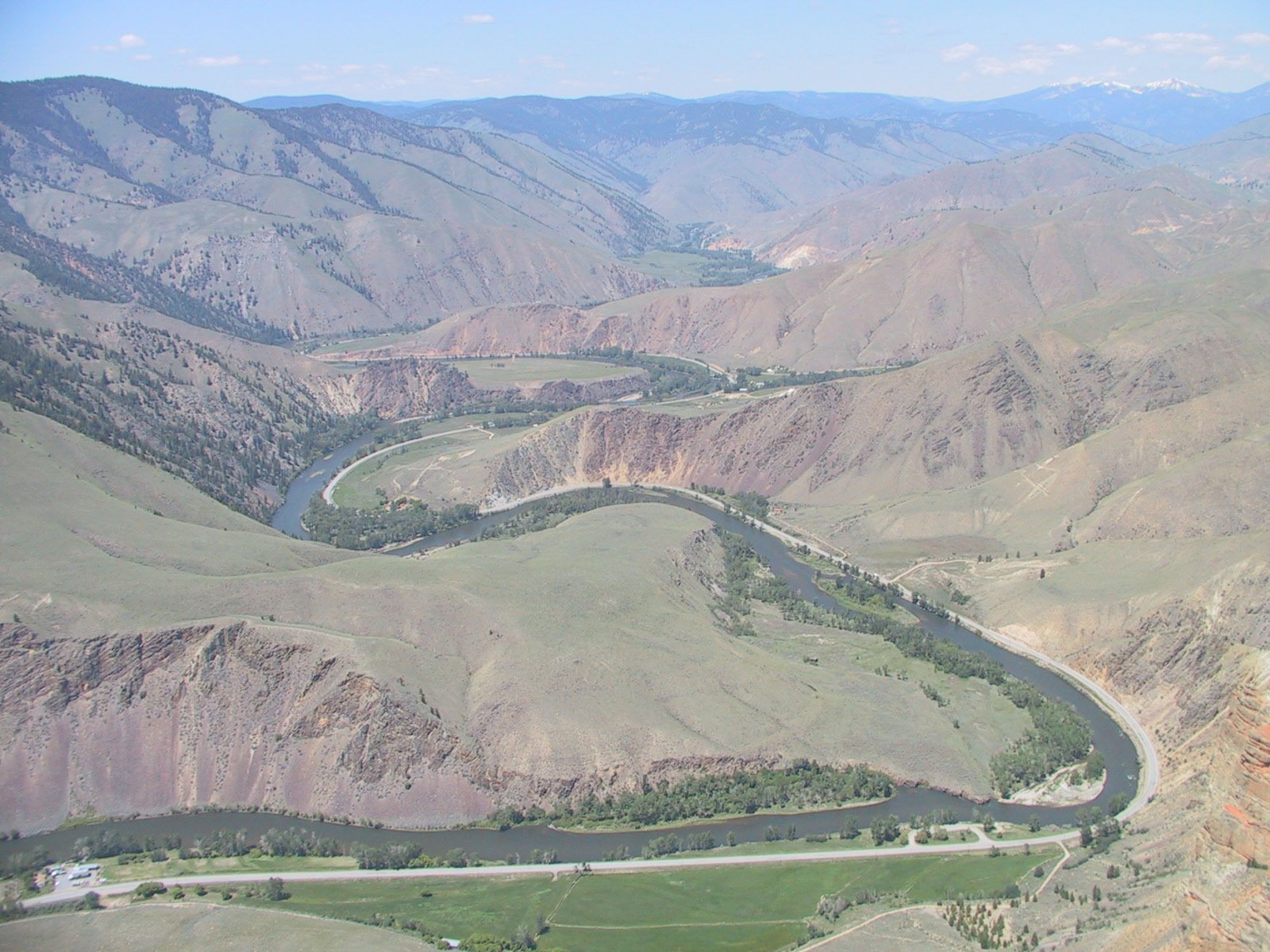
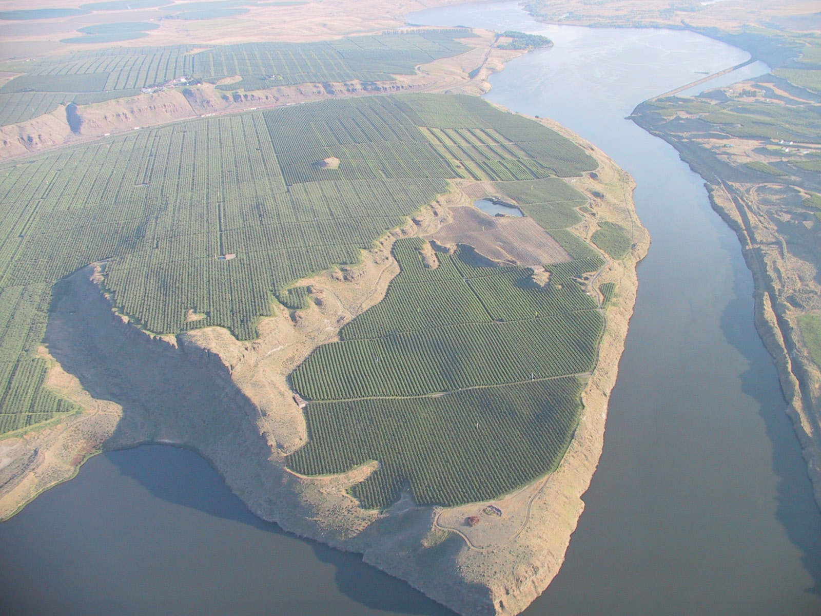
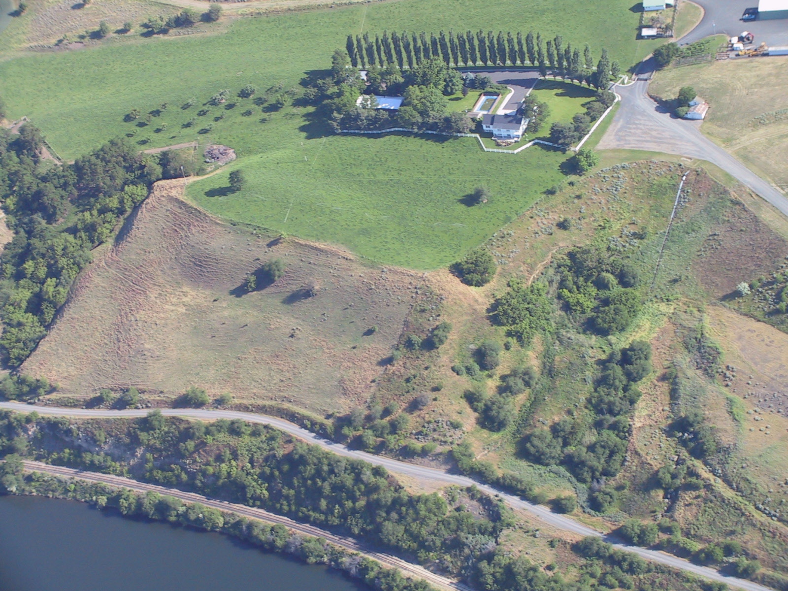
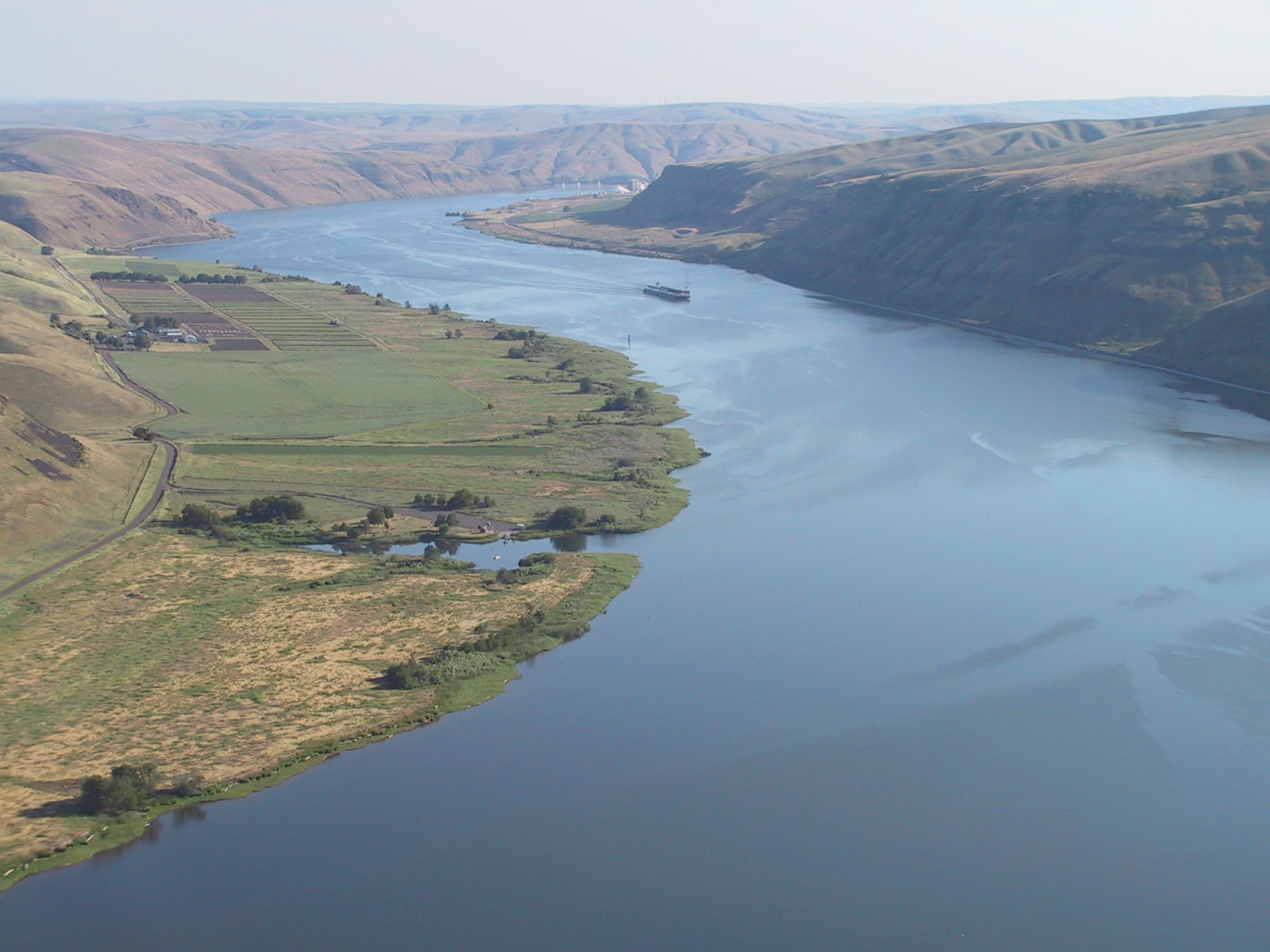
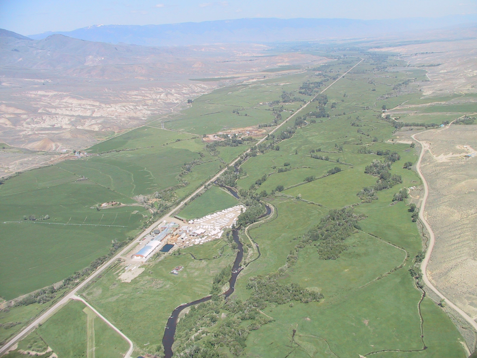
You can see here where the river used to run through this field. Apparently the crops grow better where the river used to be.
Fission
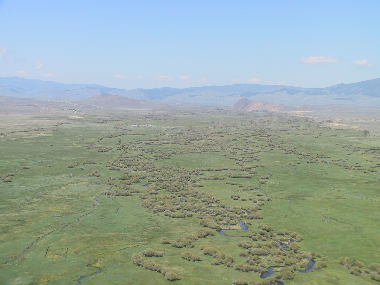

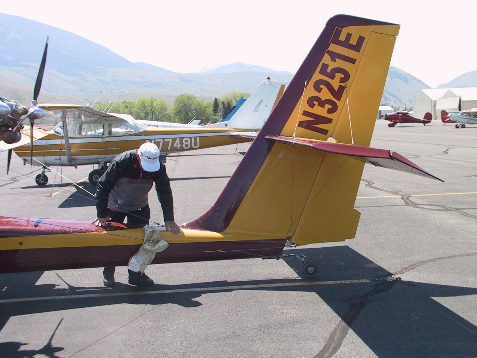
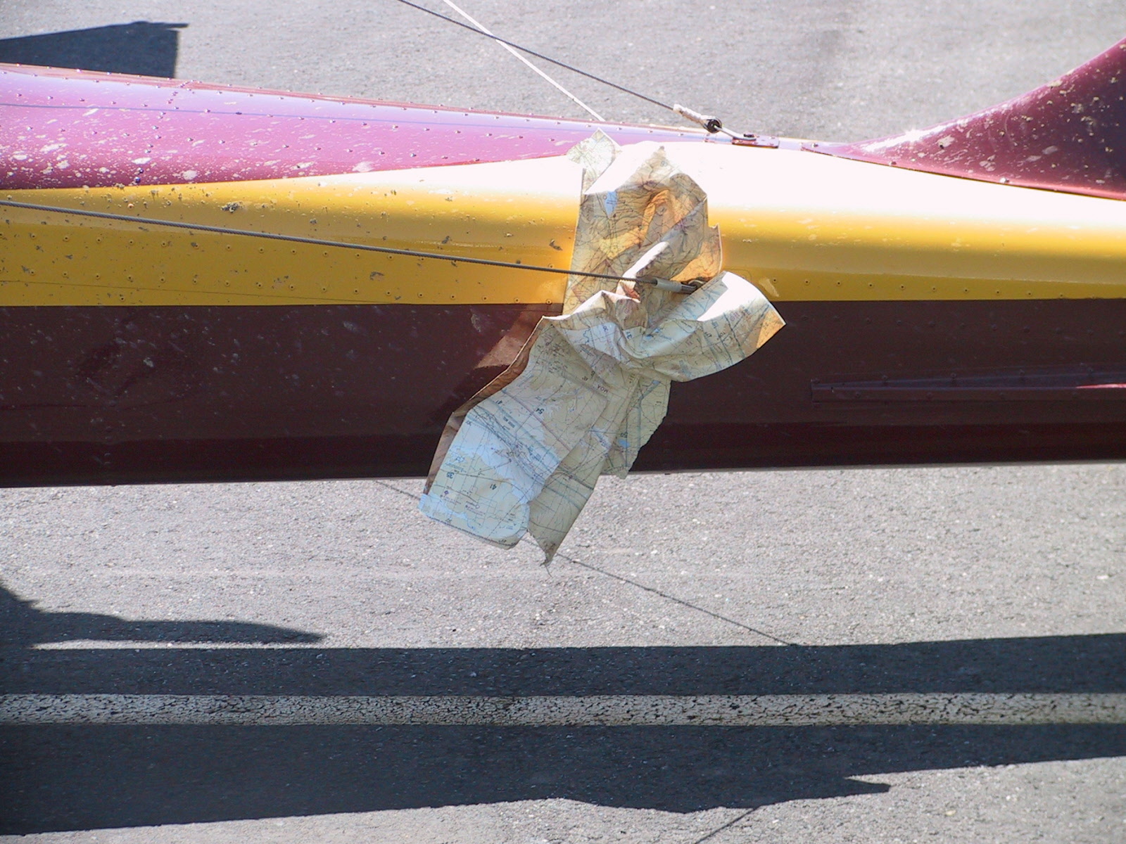
I lost a map over Lemhi Pass. We found it here after we landed in Salmon.