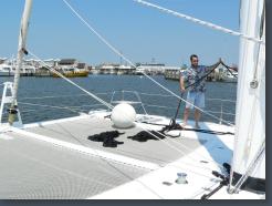
Brian the deckhand
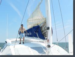
Brian the deckhand
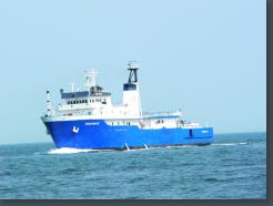
Kings Pointer, the Training Ship of the United States Merchant Marine Academy.
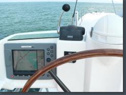
Headed for Africa
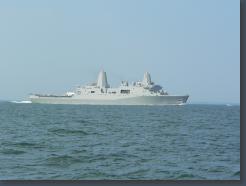
The USS San Antonio (LPD 17), amphibious transport dock, leaving Chesapeake Bay.
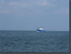
Kings Pointer, the Training Ship of the United States Merchant Marine Academy.
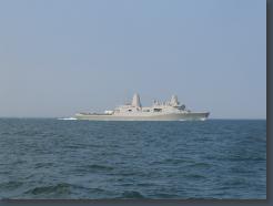
The USS San Antonio (LPD 17), amphibious transport dock.
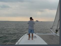
Brian the Photographer
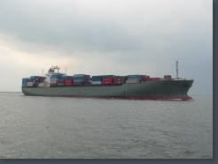
Manhattan Bridge, K-Line, 42394 tons, 241m
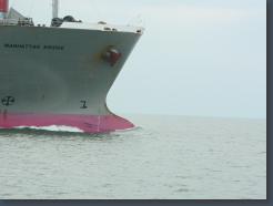
Manhattan Bridge, K-Line, 42394 tons, 241m
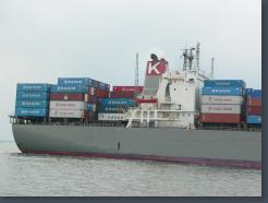
Manhattan Bridge, K-Line, 42394 tons, 241m
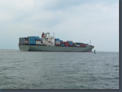
Manhattan Bridge, K-Line, 42394 tons, 241m
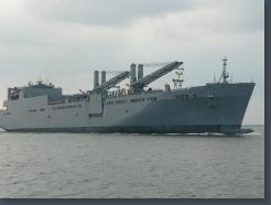
Military Sealift Command (MSC) large, medium-speed, roll-on/roll-off ship USNS Red Cloud (T-AKR 313)
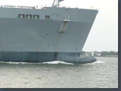
Military Sealift Command (MSC) large, medium-speed, roll-on/roll-off ship USNS Red Cloud (T-AKR 313)
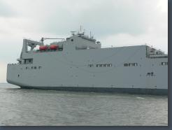
Military Sealift Command (MSC) large, medium-speed, roll-on/roll-off ship USNS Red Cloud (T-AKR 313)
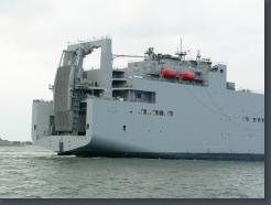
Military Sealift Command (MSC) large, medium-speed, roll-on/roll-off ship USNS Red Cloud (T-AKR 313)
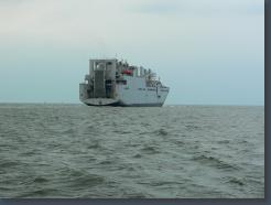
Military Sealift Command (MSC) large, medium-speed, roll-on/roll-off ship USNS Red Cloud (T-AKR 313)
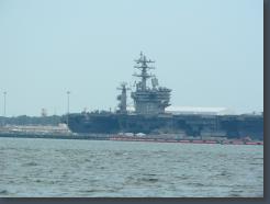
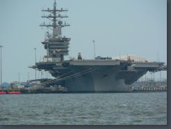
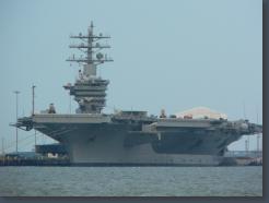
CVN 69, the Eisenhower
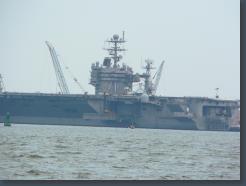
CVN 71 - the Roosevelt
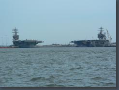
The Eisenhower and the Roosevelt
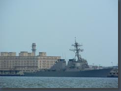
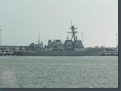
Guided-missile destroyer USS Donald Cook (DDG 75)
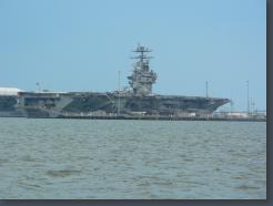
Nimitz-class aircraft carrier USS Theodore Roosevelt (CVN 71)
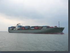
Manhattan Bridge, K-Line, 42394 tons, 241m
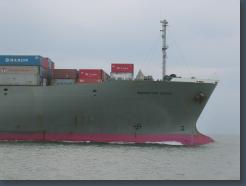
Manhattan Bridge, K-Line, 42394 tons, 241m
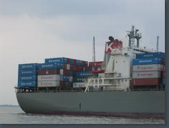
Manhattan Bridge, K-Line, 42394 tons, 241m
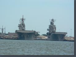
Nimitz-class aircraft carriers Dwight D Eisenhower (CVN 71) and Theodore Roosevelt (CVN 71)
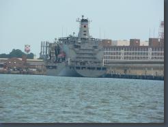
A Navy Oiler
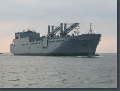
Military Sealift Command (MSC) large, medium-speed, roll-on/roll-off ship USNS Red Cloud (T-AKR 313)
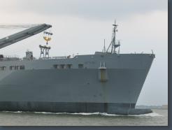
Military Sealift Command (MSC) large, medium-speed, roll-on/roll-off ship USNS Red Cloud (T-AKR 313)
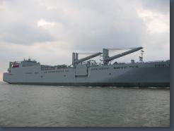
Military Sealift Command (MSC) large, medium-speed, roll-on/roll-off ship USNS Red Cloud (T-AKR 313)
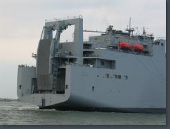
Military Sealift Command (MSC) large, medium-speed, roll-on/roll-off ship USNS Red Cloud (T-AKR 313)
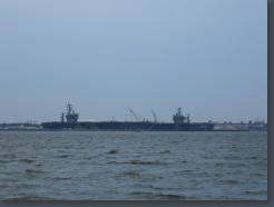
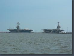
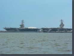
The carriers Eisenhower (CVN 69) and the Roosevelt (CVN 71), Norfolk
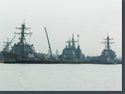
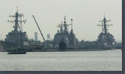
Left: Guided-missile destroyer USS Nitze (DDG 94)
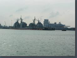
Middle: Ticonderoga-class guided-missile cruiser USS Anzio (CG 68)
Right: Guided-missile destroyer
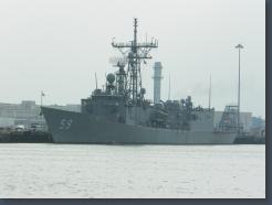
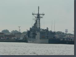
Guided-missile frigate USS Kauffman (FFG 59)
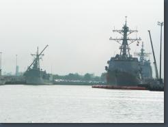
Left: Oliver Hazard Perry-class frigate USS Carr (FFG 52)
Right: guided-missile destroyer USS Bulkeley (DDG 84)
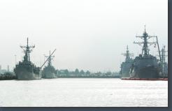
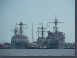
Left front: Guided-missile frigate USS Kauffman (FFG 59)
Left rear: Oliver Hazard Perry-class frigate USS Carr (FFG 52)
Right front: guided-missile destroyer USS Bulkeley (DDG 84)
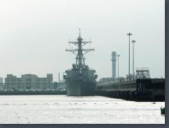
Guided-missile destroyer USS Porter (DDG 78)
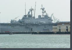
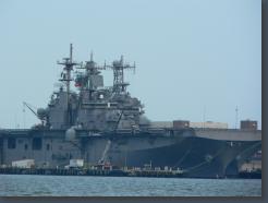
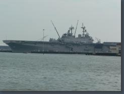
Amphibious assault ship USS Wasp (LHD 1)
Notice the damaged helicopter, and the boat towing a barrier beside us.
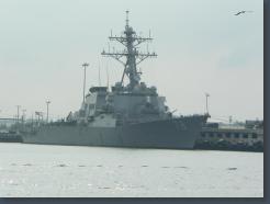
Guided missile destroyer USS Porter (DDG 78)
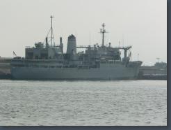
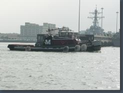
Navy Oiler
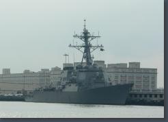
Guided-missile destroyer USS Donald Cook (DDG 75)
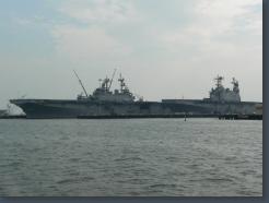
Right: Amphibious assault ship USS Nassau (LHA 4)
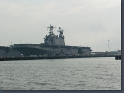
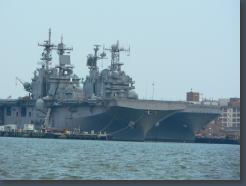
Amphibious assault ship USS Nassau (LHA 4)
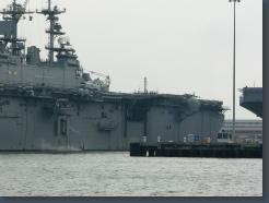
Amphibious assault ship USS Wasp (LHD 1). Notice the damaged helicopter.
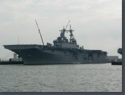
amphibious assault ship USS Wasp (LHD 1)
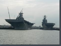
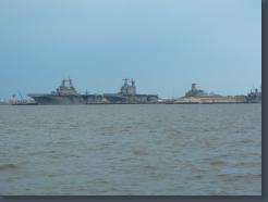
Amphibious assault ships Wasp and Nassau
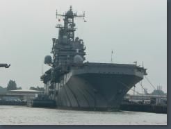
Amphibious assault ship Nassau (LHA 4)
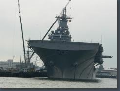
Amphibious assault ship Wasp (LHA 1)
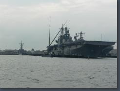
amphibious assault ship USS Wasp (LHD 1)
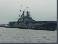
amphibious assault ship USS Wasp (LHD 1)
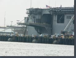
amphibious assault ship USS Wasp (LHD 1)
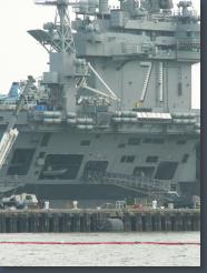
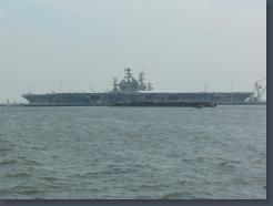
The USS Theodore Roosevelt, CVN 71
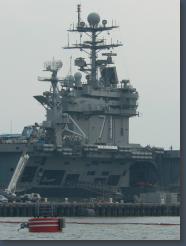
The USS Theodore Roosevelt, CVN 71
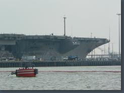
The USS Theodore Roosevelt, CVN 71
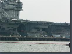
The USS Theodore Roosevelt, CVN 71
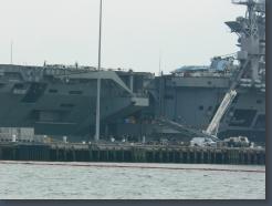
The USS Theodore Roosevelt, CVN 71
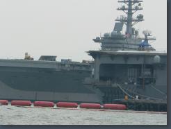
The USS Theodore Roosevelt, CVN 71
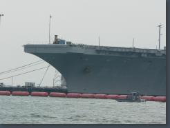
The USS Theodore Roosevelt, CVN 71
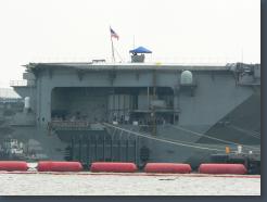
The USS Theodore Roosevelt, CVN 71
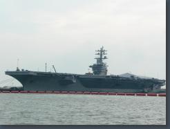
The USS Dwight D Eisenhower, CVN 69
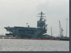
USS Roosevelt, CVN 71
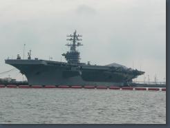
USS Eisenhower, CVN 69
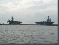
USS Eisenhower, CVN 69, and USS Roosevelt, CVN 71
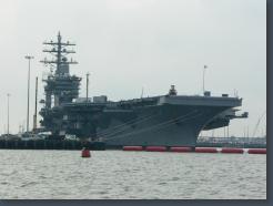
USS Eisenhower, CVN 69
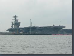
USS Eisenhower, CVN 69
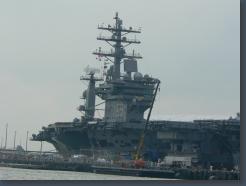
USS Eisenhower, CVN 69
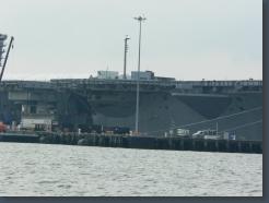
USS Eisenhower, CVN 69
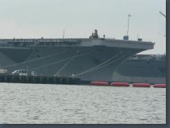
USS Eisenhower, CVN 69
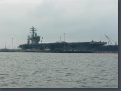
USS Eisenhower, CVN 69
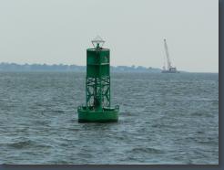
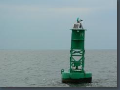
A Green Buoy
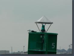
A Green Buoy (with bird)
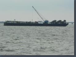
Some kind of coring project, with divers.
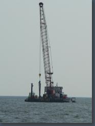
Some kind of coring project, with divers.
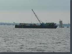
Some kind of coring project, with divers.
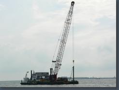
Some kind of coring project, with divers.
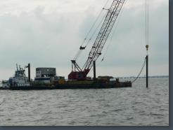
Some kind of coring project, with divers.
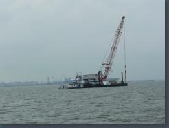
Some kind of coring project, with divers.
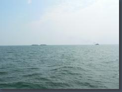
Tow boat with gravel
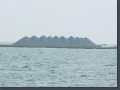
Gravel with birds
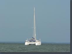
The Minnow at Watts Island
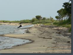
Watts Island
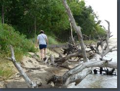
Katy at Watts Island
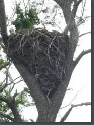
Watts Island
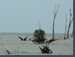
Watts Island
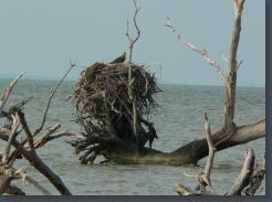
Watts Island
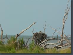
Watts Island
Watts Island
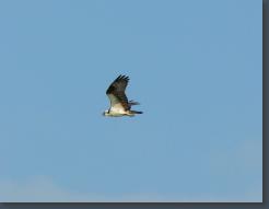
Watts Island
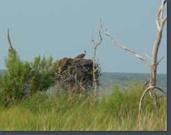
Watts Island
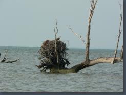
Watts Island
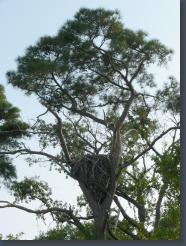
Watts Island
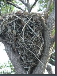
Watts Island
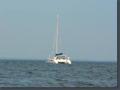
Watts Island
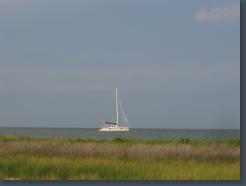
The Minnow, off Watts Island, Chesapeake Bay
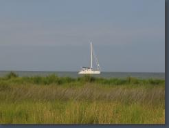
Watts Island, Chesapeake Bay
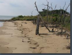
Watts Island, Chesapeake Bay
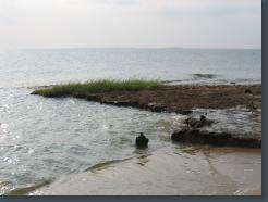
Watts Island, Chesapeake Bay

Watts Island, Chesapeake Bay
Watts Island, Chesapeake Bay
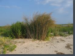
Watts Island, Chesapeake Bay
Watts Island, Chesapeake Bay
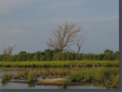
Watts Island, Chesapeake Bay
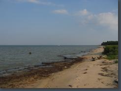
Watts Island, Chesapeake Bay
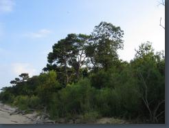
Watts Island, Chesapeake Bay
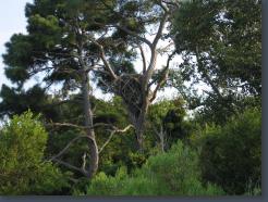
Watts Island, Chesapeake Bay
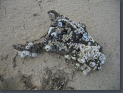
Watts Island, Chesapeake Bay
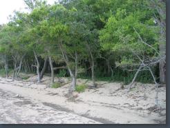
Watts Island, Chesapeake Bay
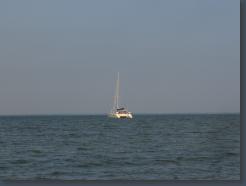
Watts Island, Chesapeake Bay


