More Junkmail from Bob!
Monday, January 15, 2001Important Stuff.
Mostly pictures today, so you might want to go to http://xpda.com/junkmail/junk75/junk75.htm to see the thumbnails.
Good news -- short Junkmail today! My brother Mike and I are in Reykjavik, but it's dark here so you don't get any pictures of Iceland. We're headed to Europe in 1421z. I can look out the hotel window and see our plane parked next to a new PC12 headed for the U.S.
We left Claremore on Monday and went to Massena, NY. That's near the Canadian border at the top of New York. I picked the small airport because I figured fuel would be cheaper and we'd get in and out faster. After and ILS approach through the icy clouds, we landed and found out they're closed on Sunday. According to some people there, the city people in charge, who know very little about aviation, decided to close down on Sunday. They didn't bother to issue a notam or publish it. The people working there think it was a really stupid move. Anyway, a $50 call-out charge and a wait for someone to come in to work kind of negated my well-thought out advantages. There were low clouds or we would have headed somewhere else.
From Massena we headed to Goose Bay and spent the night. The people at Woodwards Aviation are really helpful. They mentioned that a group of 18 TBM-700s are supposed to come through there in June. Socata is sponsoring a group flight to the Paris Air Show and the Tarbes factory.
It was somewhere around -25C that night. The next morning, our gyros were frozen! The attitude indicator acted like it was working, but it was tilted at about 45 degrees. The heading was headed in the right direction, but it was flagged as invalid.
They had preheated the engine, but that wasn't enough. I remember reading that you're supposed to heat the EFIS box specifically. Maybe that's where we messed up. We only had the engine heated.
We ran it on the ground for a long time and flew around the pattern once, and the heading fixed itself. Then we decided to take off toward Greenland and turn back at the coast if the attitude gyro didn't start working by then. It started working so we went on. It was clear weather all the way to Greenland, and we have a spare attitude indicator.
We had an HF radio put in before we left, but either it doesn't work or we're not smart enough to figure it out, so we were limited to VHF line-of-site communications. That meant about an hour of the way across the ocean we were not in communications with anybody on the ground. We could talk to some other planes in the area if we needed to, though.
I had filed for 27000 feet. That's the highest you can go without having some special MNPS navigation equipment that primarily airliners only have. I guess 25,000 is the highest they actually let you go, but they put me at 22,000 feet. Then they told me to go down to 19,000 for the crossing to Greenland for traffic. There was a German Air Force plane crowding me.
Since our plane gets better fuel economy up high, and since we ran the engine so long before taking off, we didn't have as much extra fuel as I prefer. We did have 1.5 to 2 hours fuel left when we landed, but if the weather wasn't clear in Greenland I might have turned back for more gas or demanded a higher altitude.
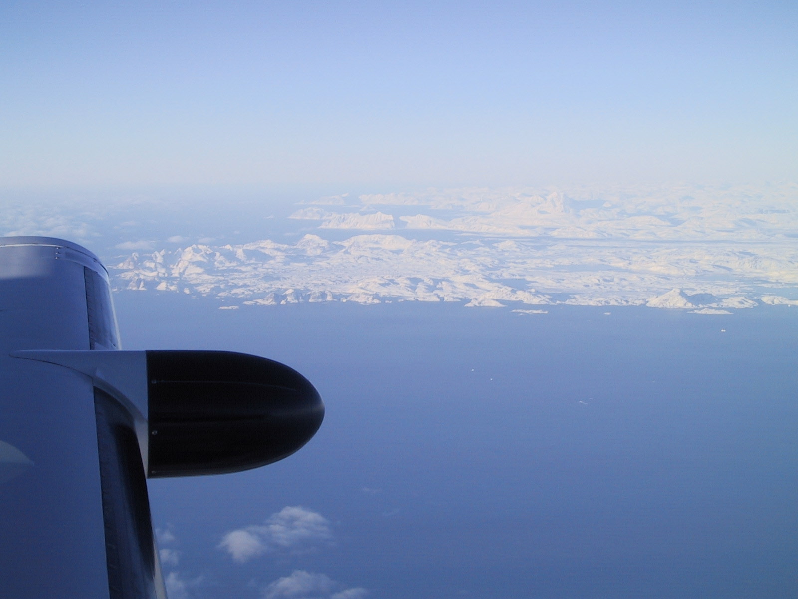
Leaving Canada and coming into Greenland was really pretty. There was also a pretty error message on the GPS I didn't understand:
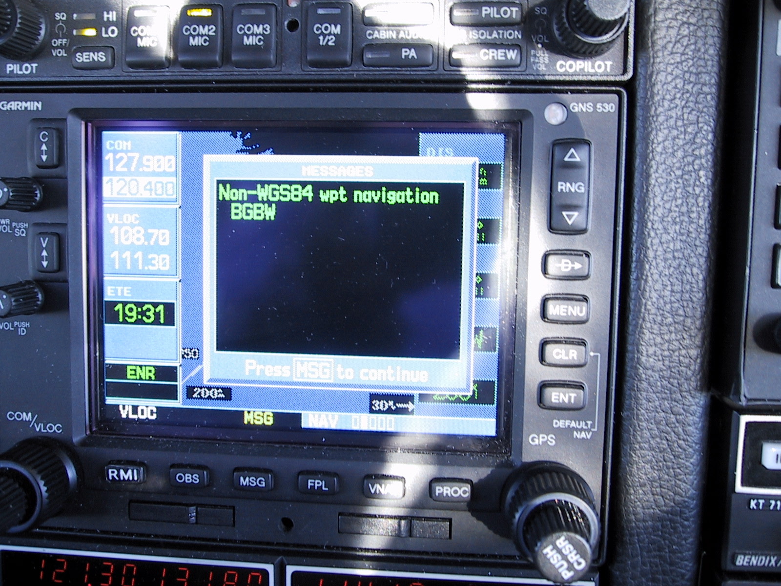
I have no idea what a non-wgs84 waypoint is. But we did find the airport. They had NDBs if we need them. Here's Narsarsuaq:
We landed at Narsarsuaq, Greenland, and then took off to Reykjavik.
We stopped here in Reykjavik because it was dark and snowing, there was going to be a stiff headwind, and we aren't in a hurry.
We have managed not to do this so far:
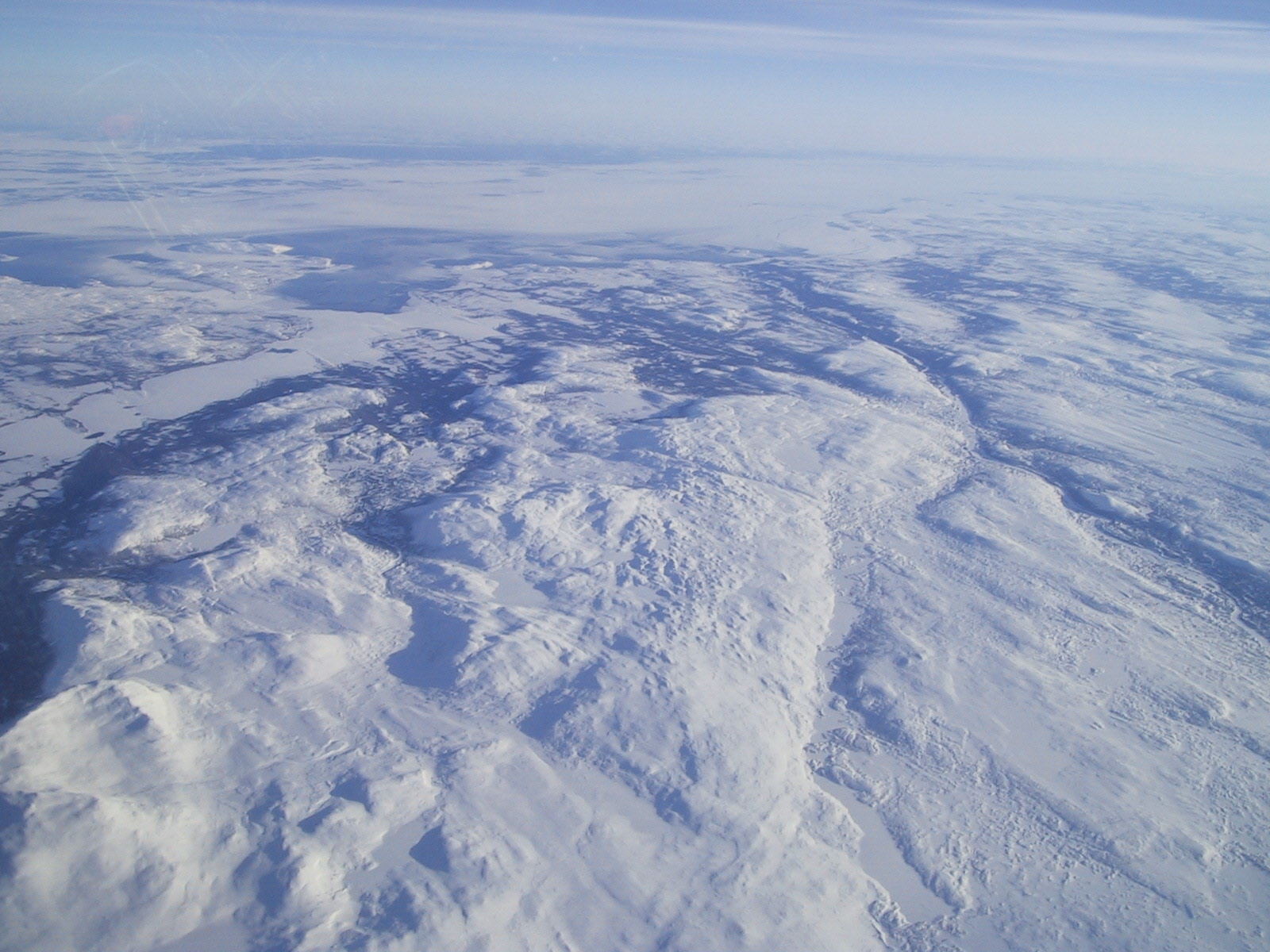
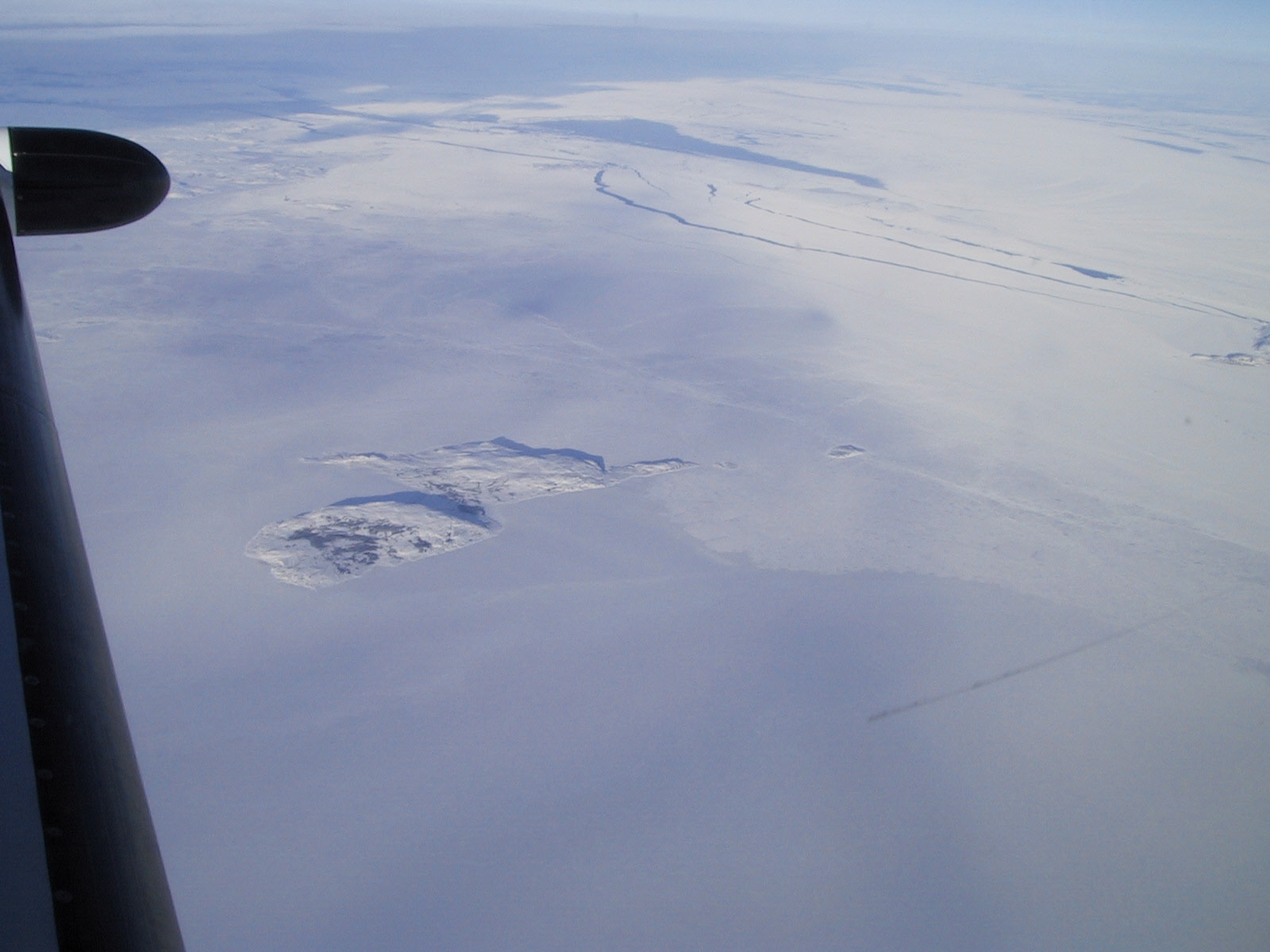
The Pictures of Today are, of course, from Greenland (and a little of Canada).
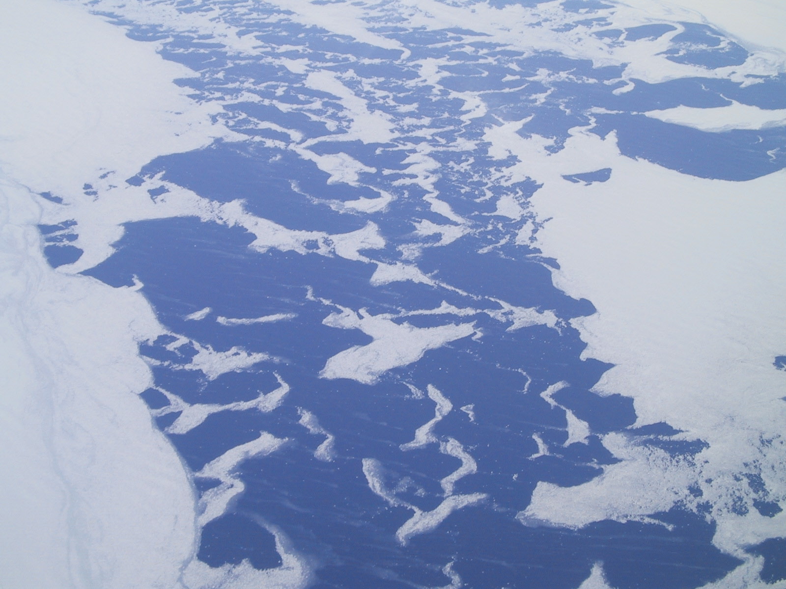
Peaking through the Greenland ice cap:

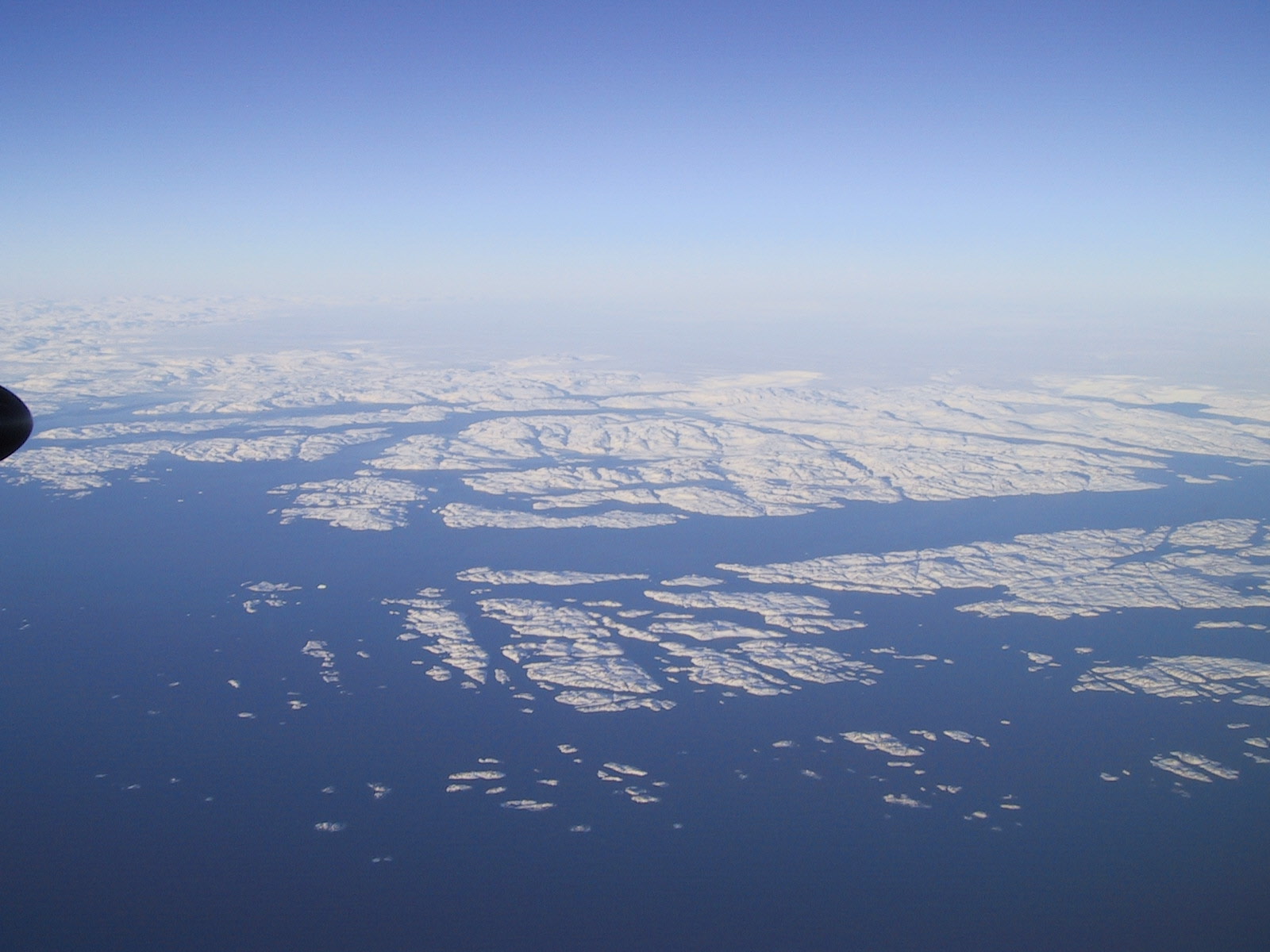
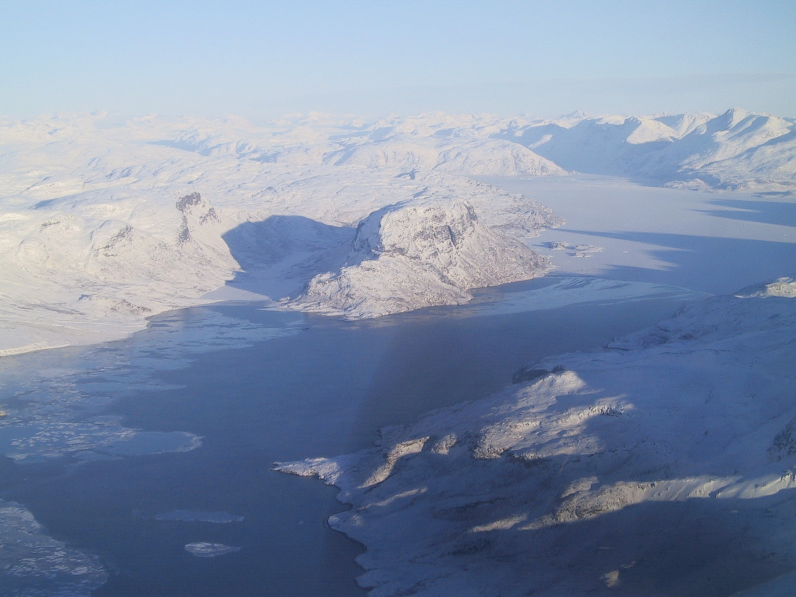
The Canadian coast:
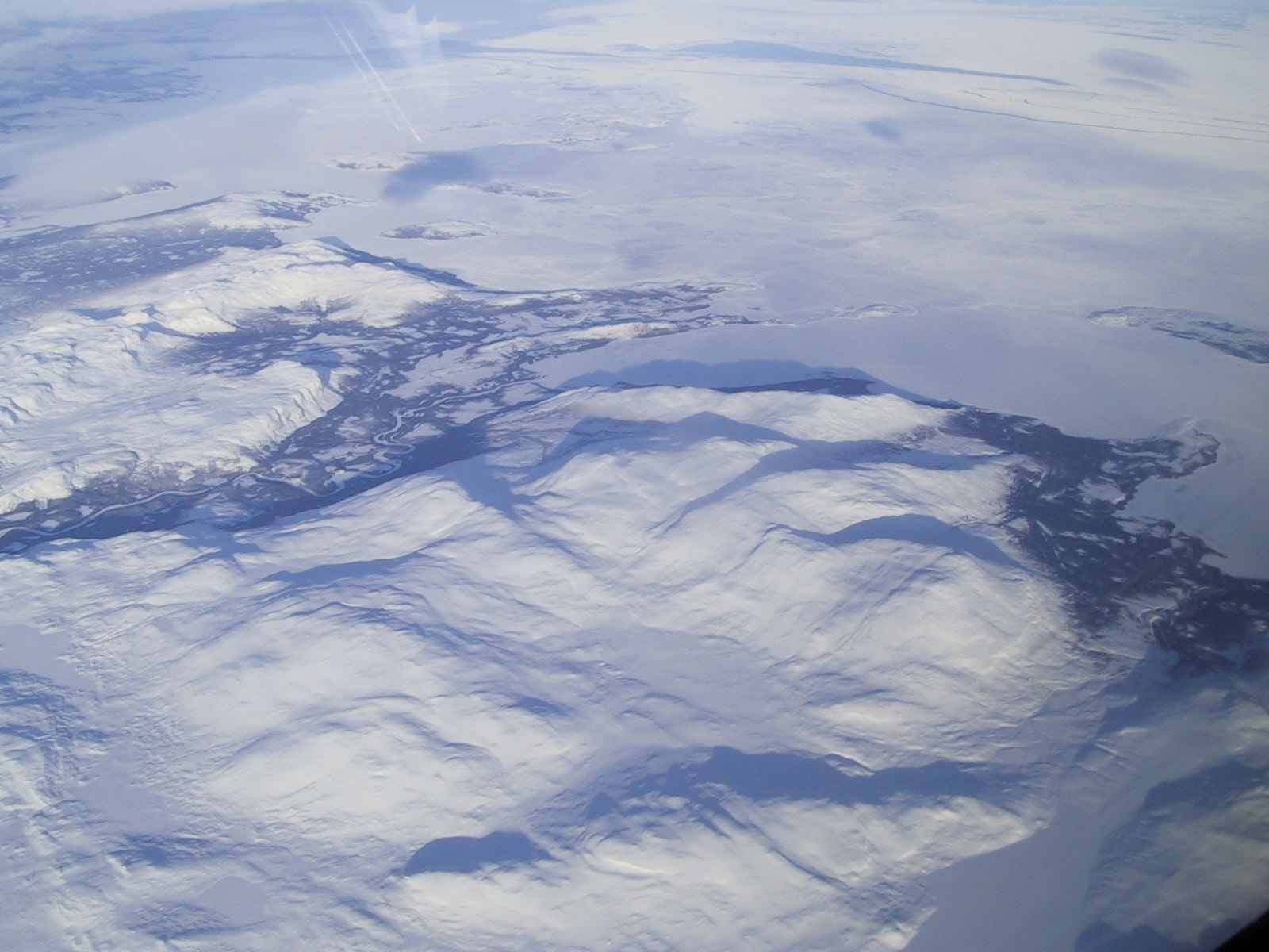
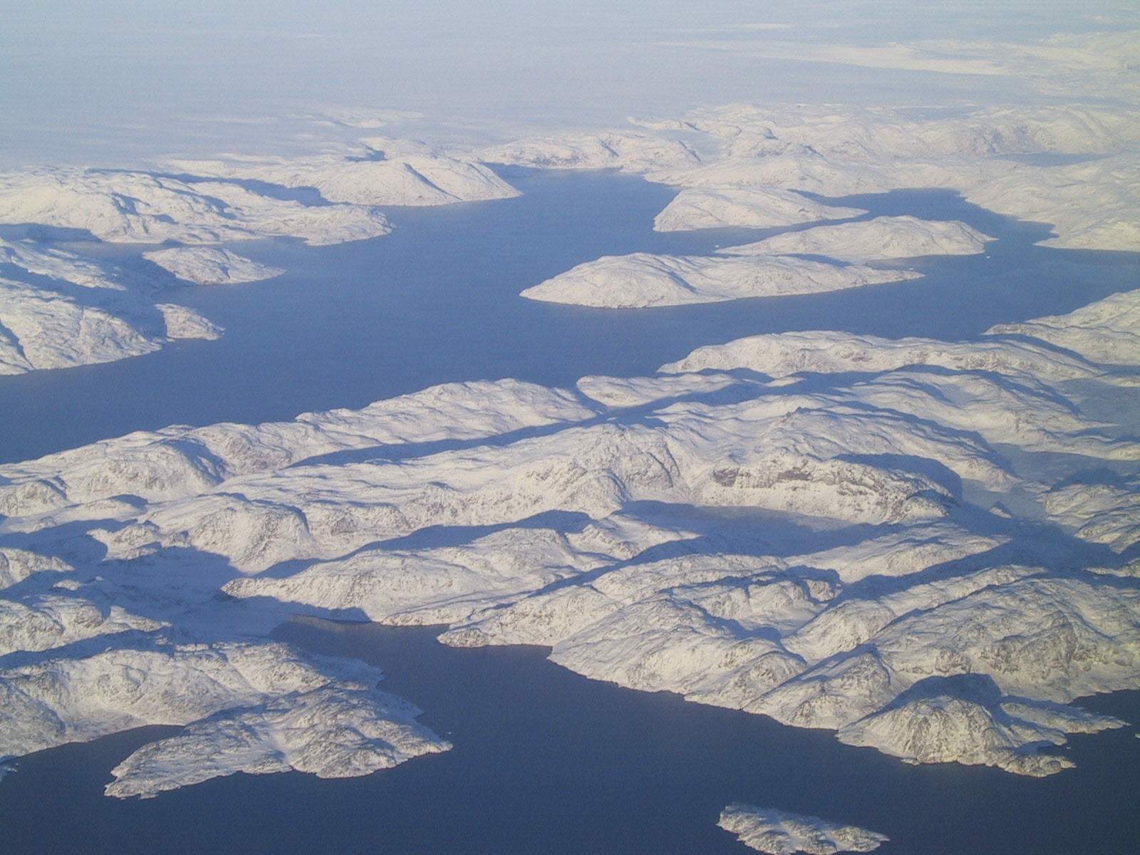
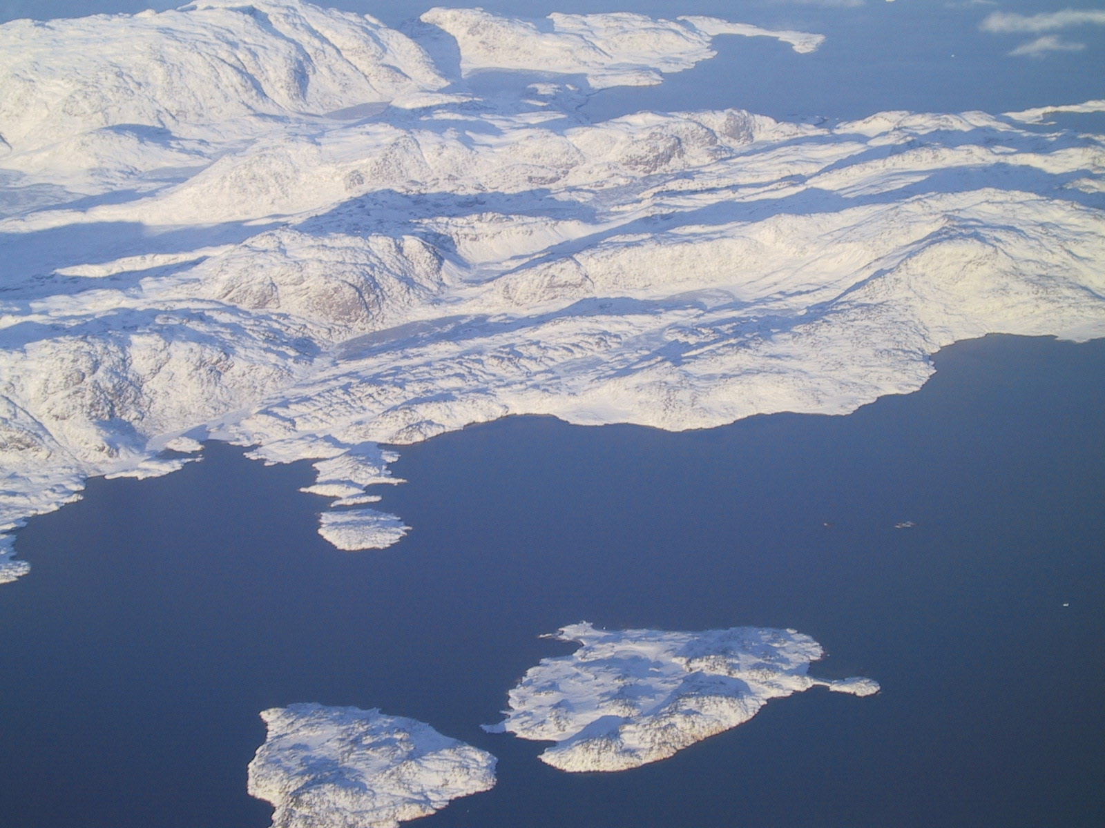
Some islands off Canada:
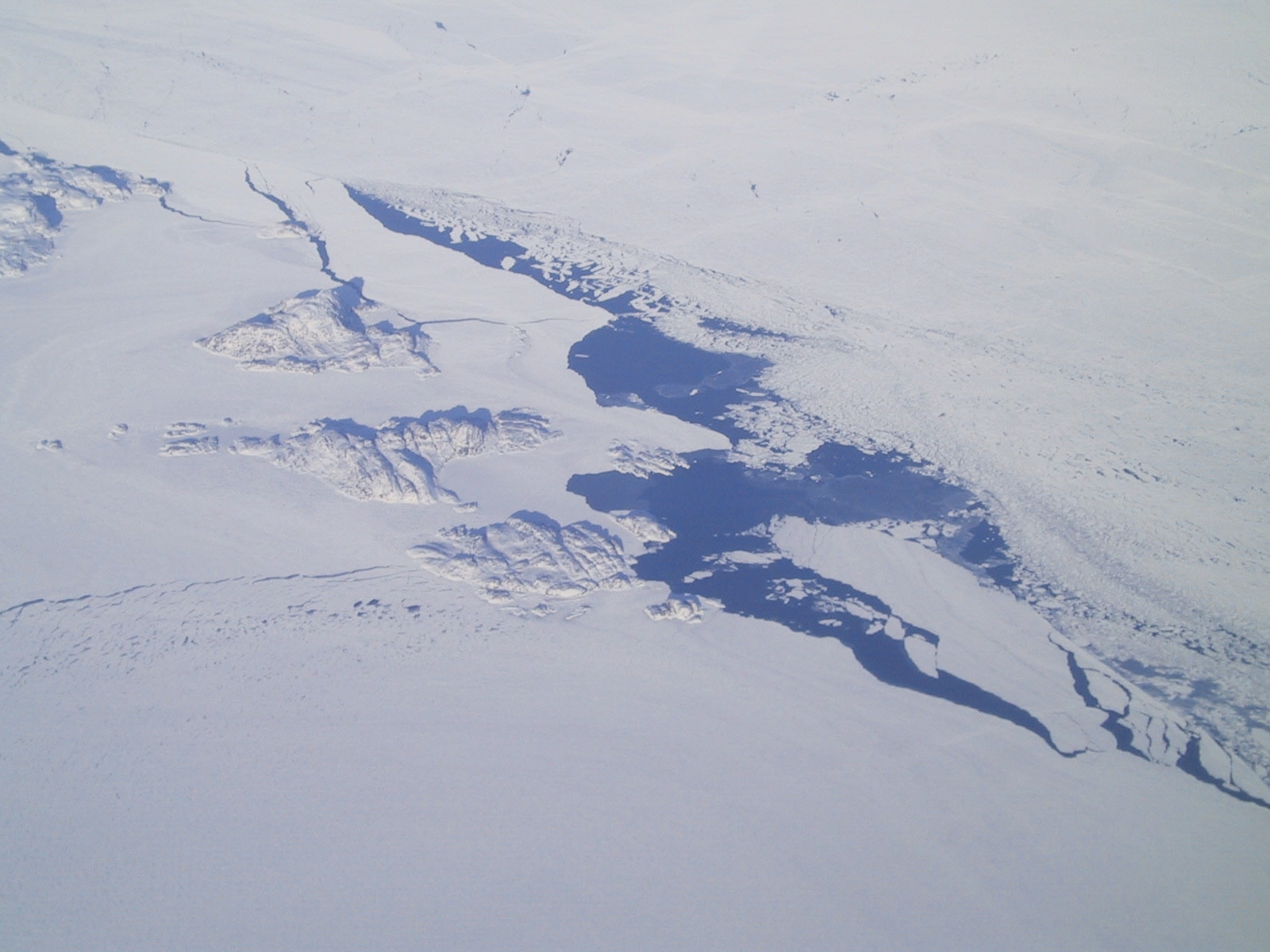
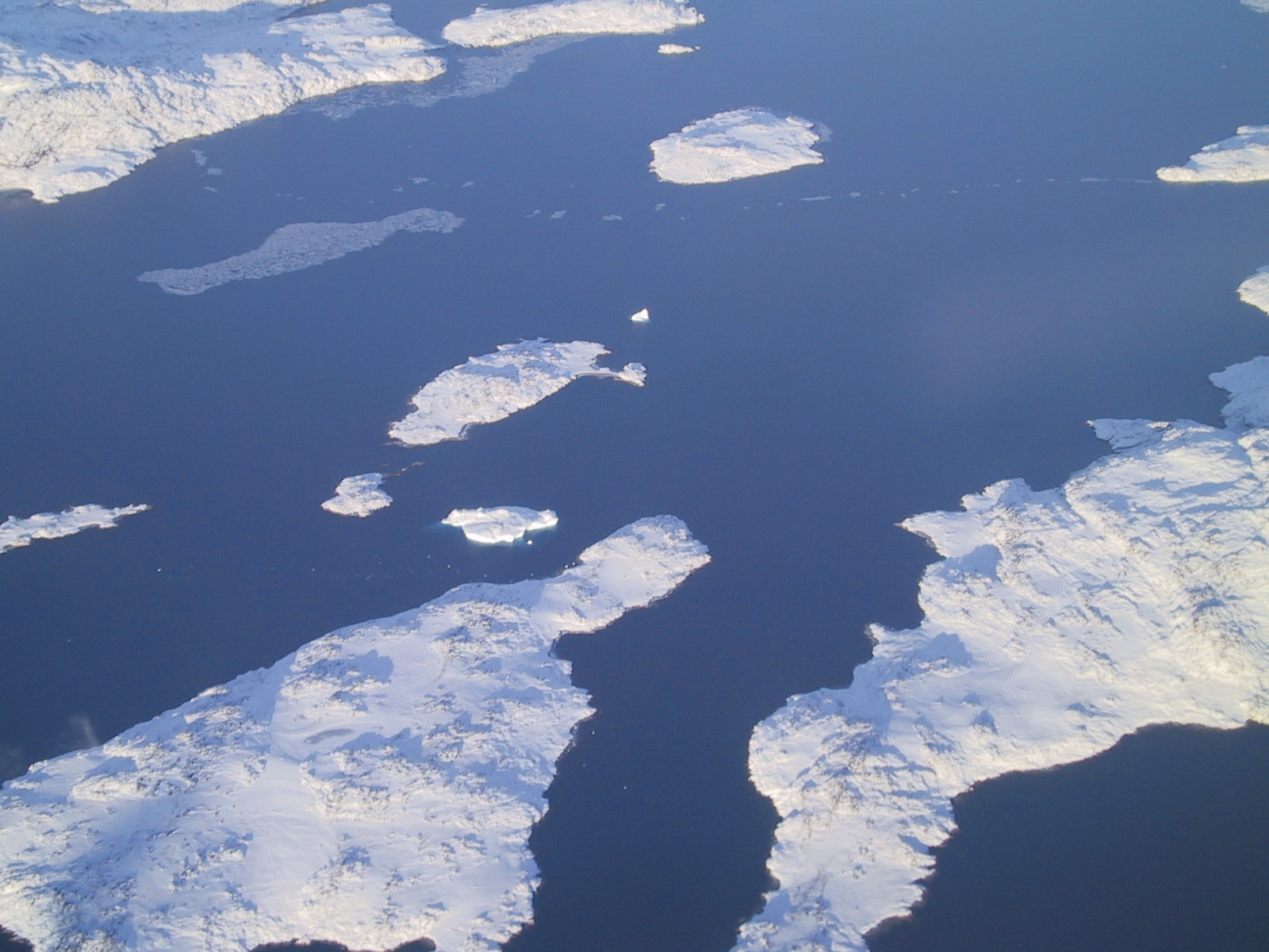
Billions of icebergs!
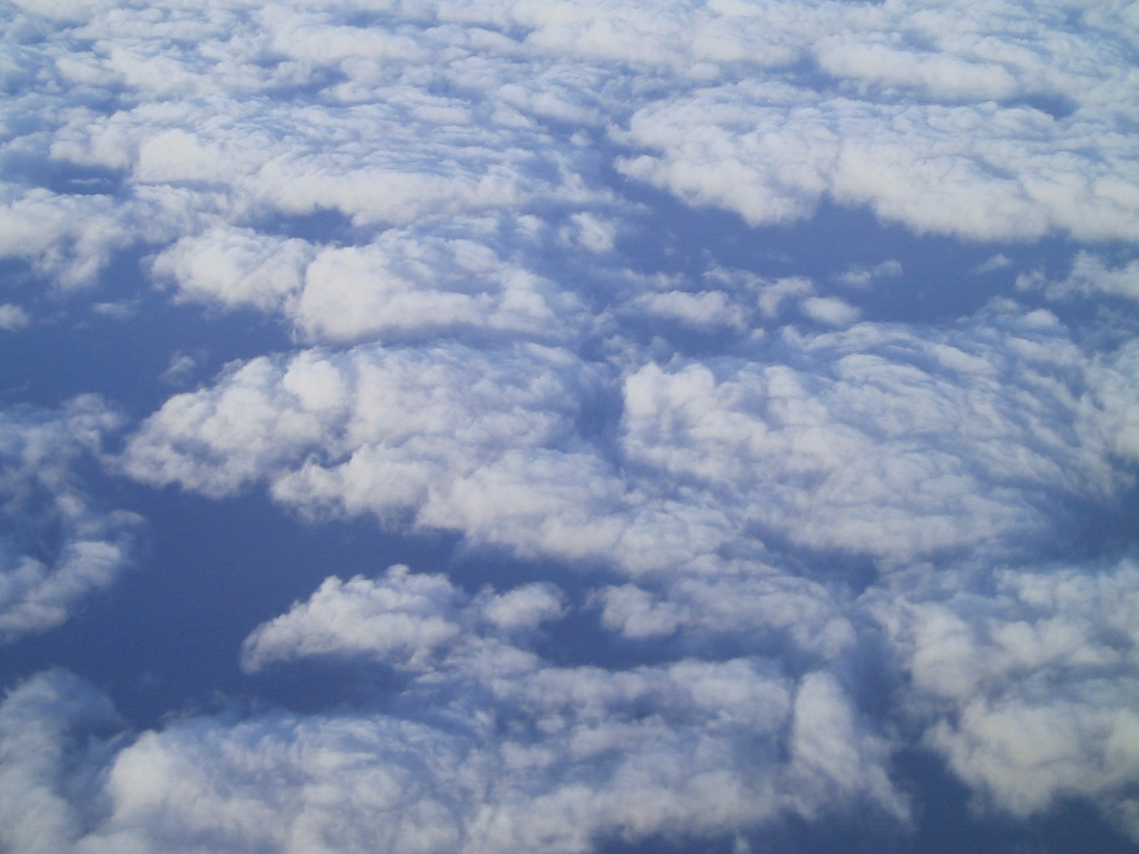
Clouds
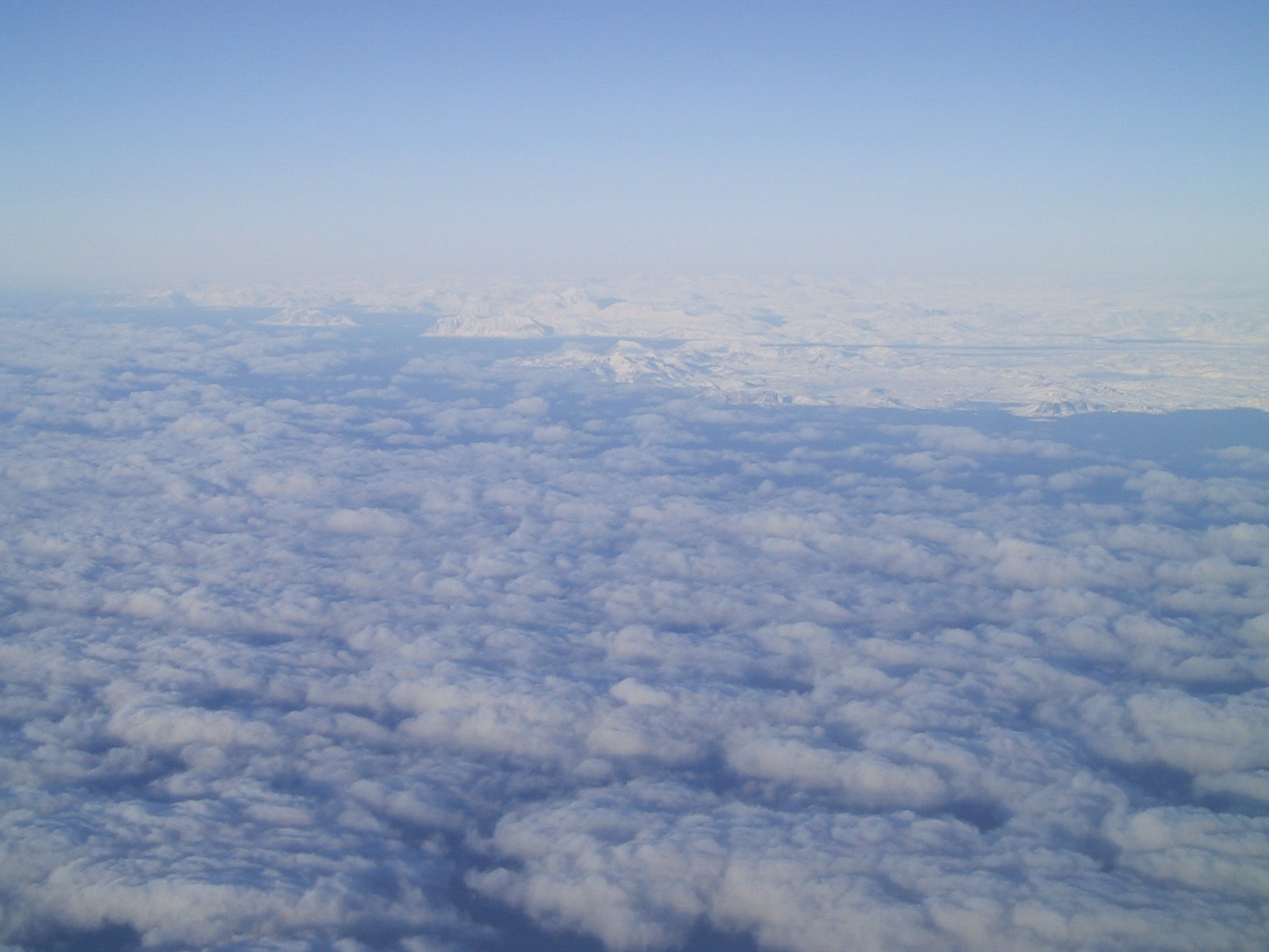
Land Ho!
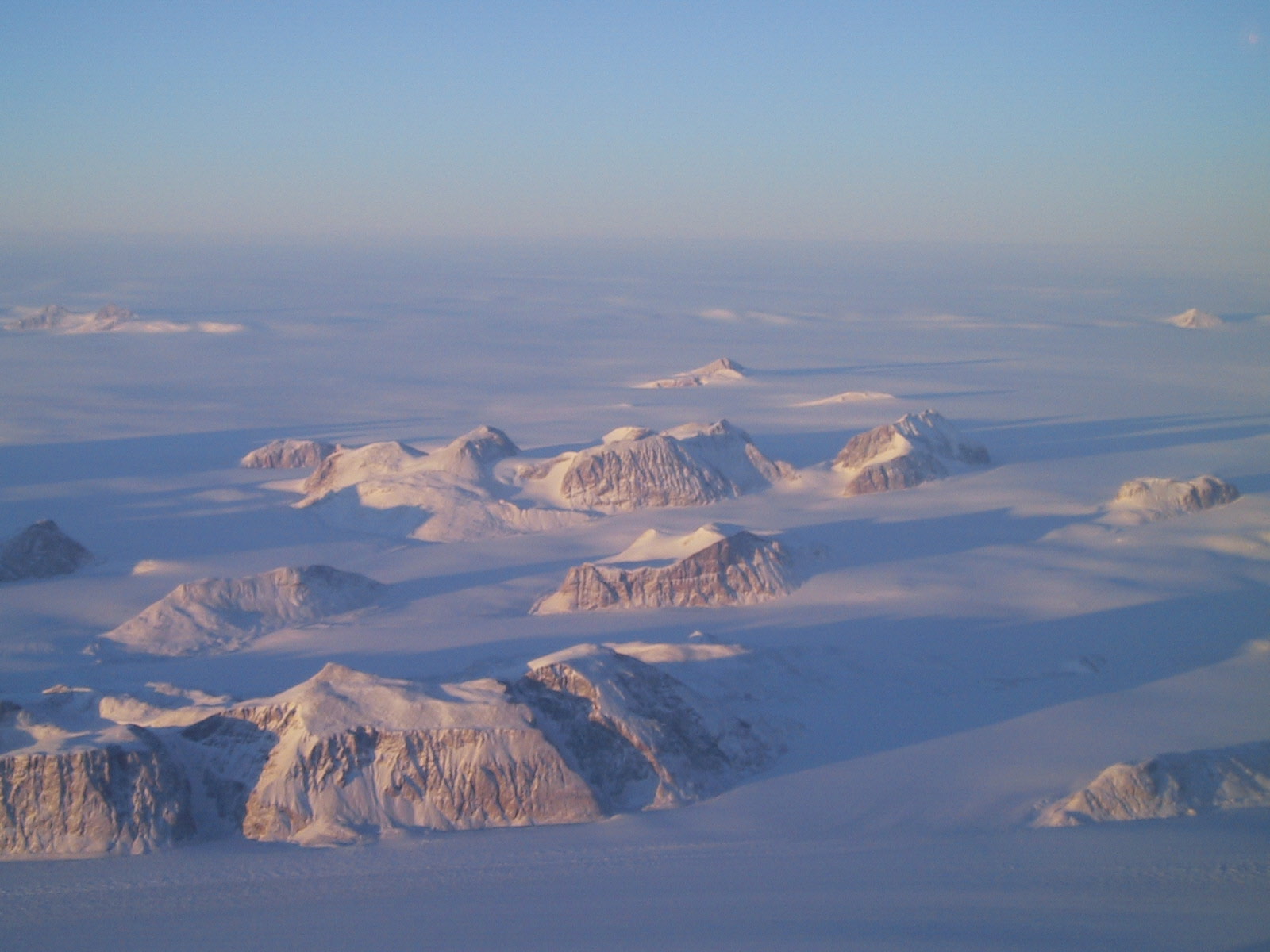
Greenland Pictures
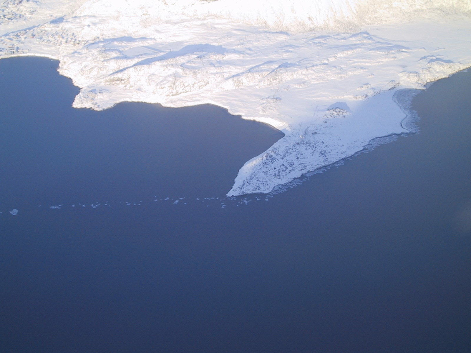
This is a town with no road or airport -- sea access only.

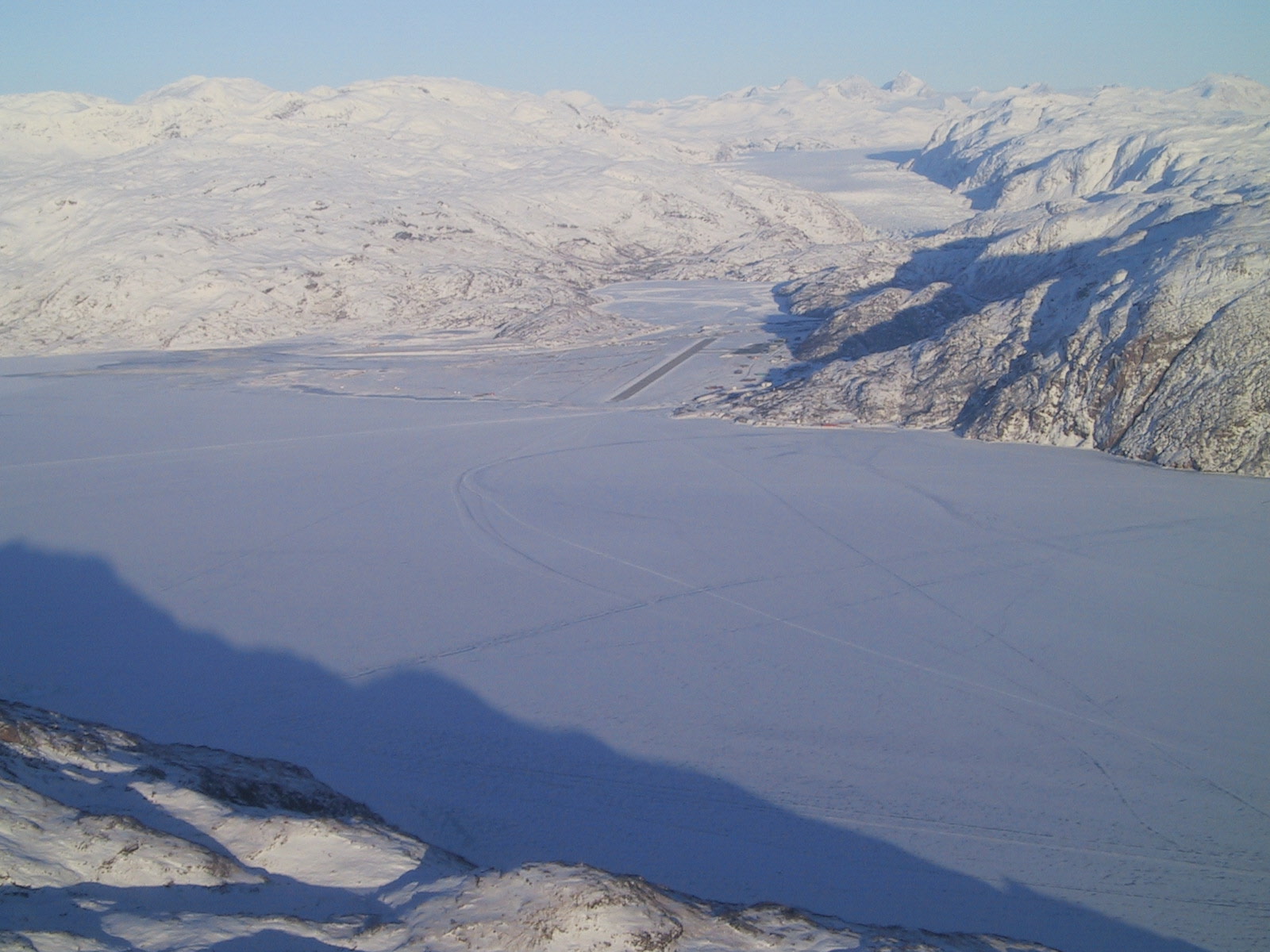
Narsarsuaq is up this fjord.
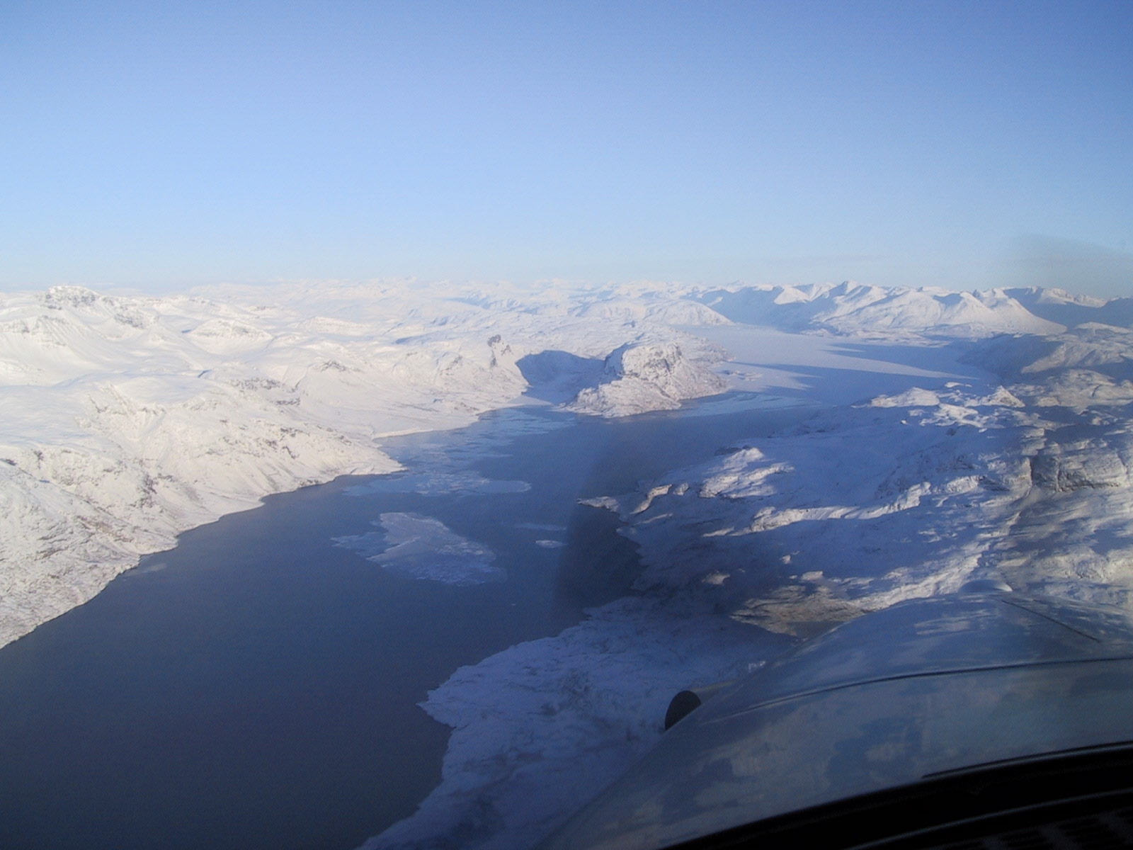
...and here's the runway!
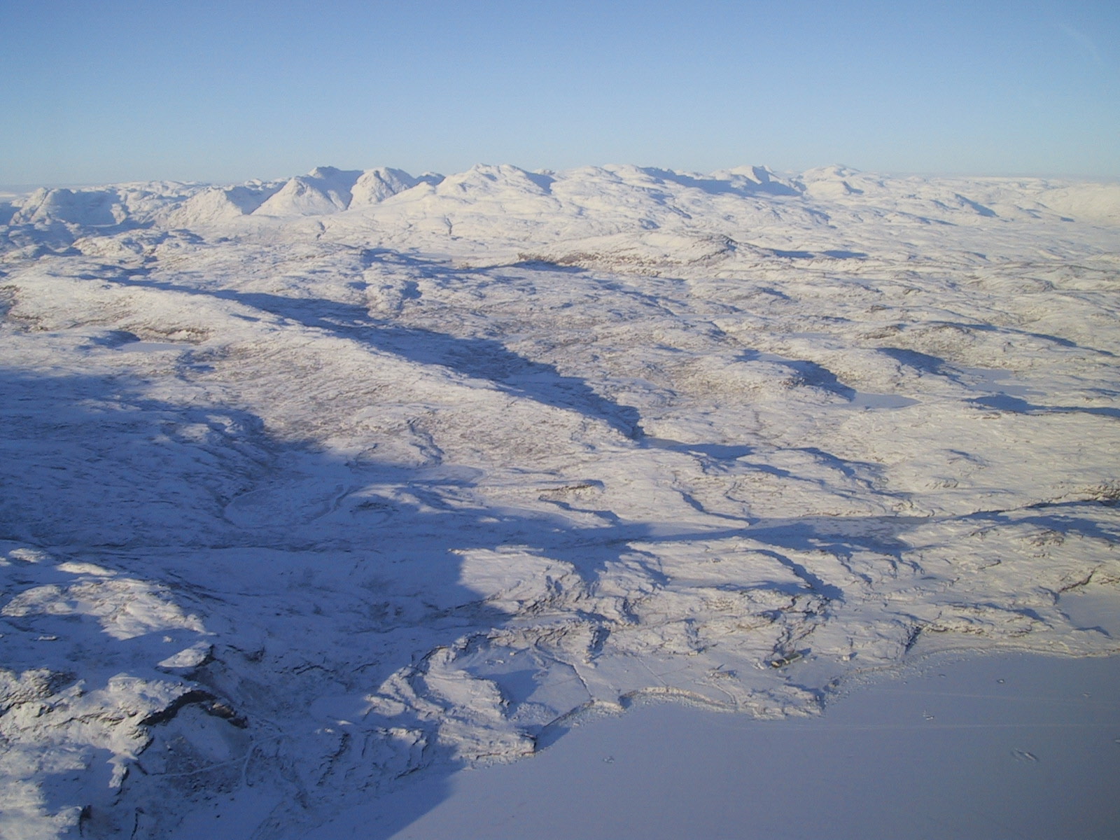
A glacier inland.
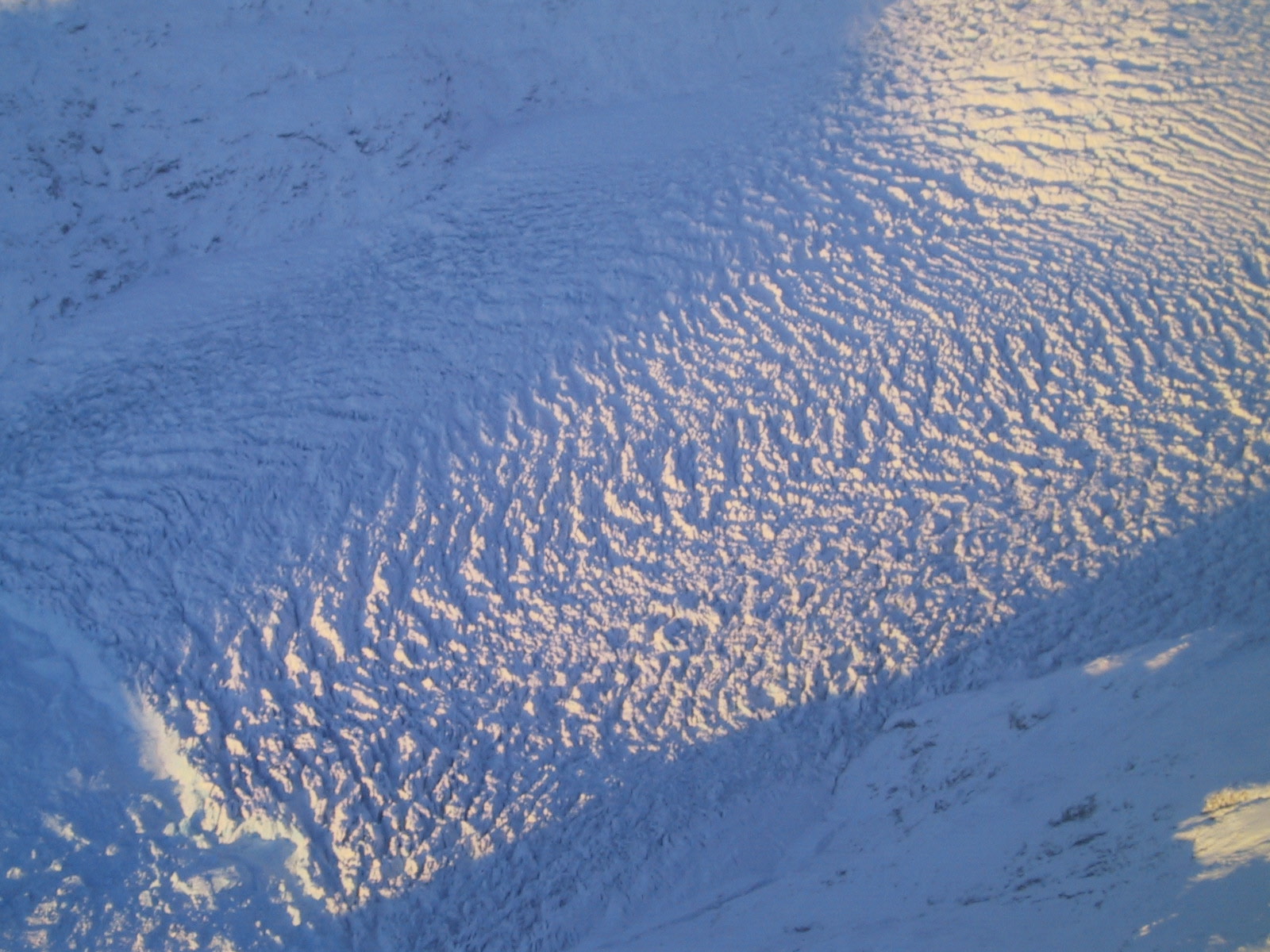
This flat thing that looks like a white ocean is the ice cap the covers most of Greenland. It averages 8000 - 9000 above sea level. A group of planes made emergency landings on the ice cap in WWII. Some people recently dug one up from underneath 200+ feet of ice.
(@) 1942, all rights preserved. Any unauthorized duplication of this fine piece of junk is hereby expressly ignored. If you would like to see other Junkmails, go to
http://xpda.com/junkmail
If you would like to add someone to the Junklist, you can do that there too.
If you would like to stop receiving Junkmail, please contact Arctic Radio on 5624 kHz and make your request with them.
I'm Bob Webster and I can be found at bob@xpda.com, at least when the phone lines are compatible.