Pryor Creek to the Mississippi River, 2001
Back to xpda.com West of Pryor
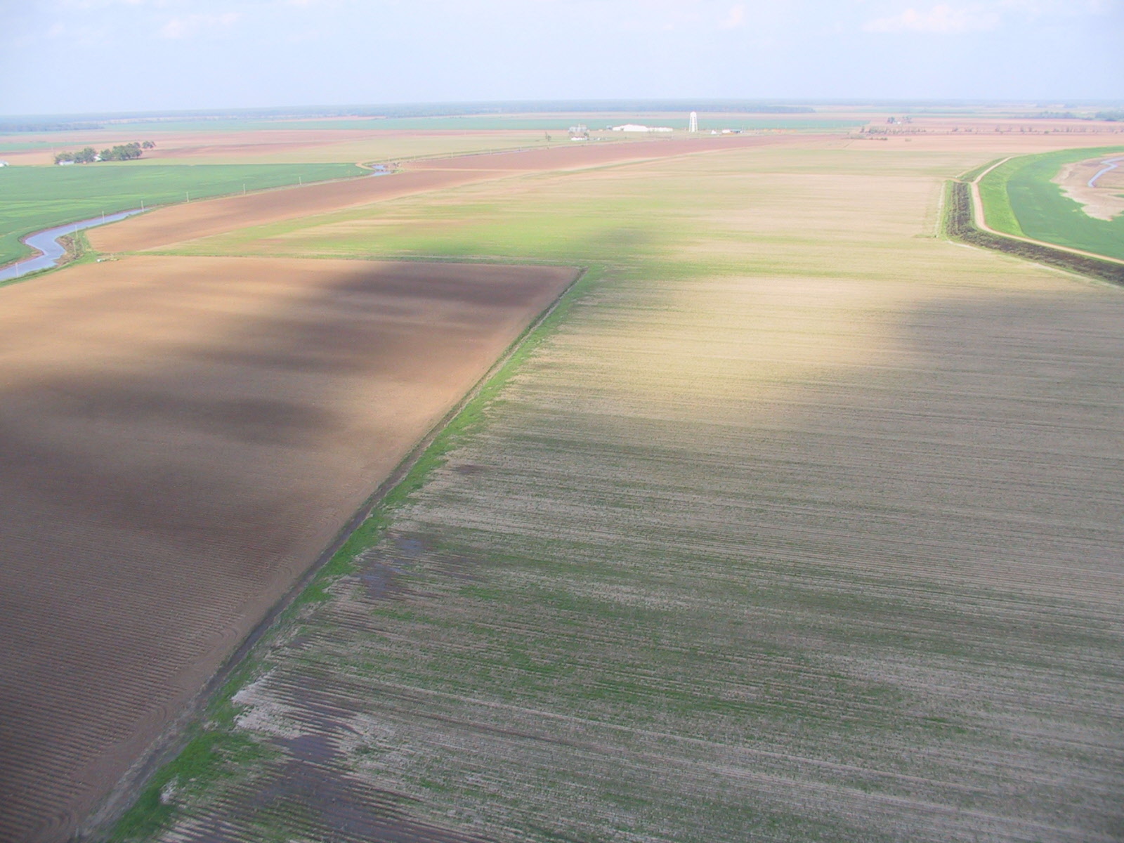
The park pond and its creek

The creek past the pool and under 69.
 Back across 69 and behind our house
 The creek enters Pryor Creek.
 Pryor Creek under Elliott
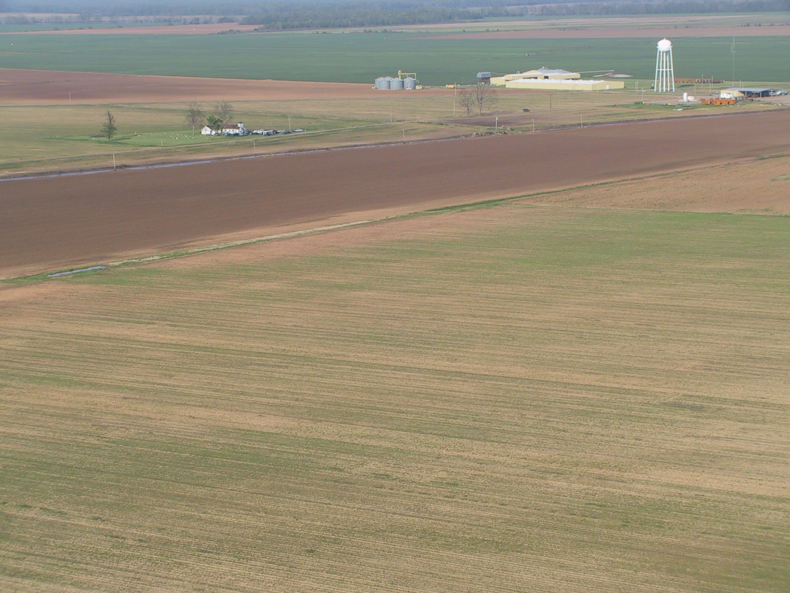
Air Products

Low Water Dam

under low water dam

Pryor Creek into Grand River

Grand River

Verdigris at Ft. Gibson

The Batfish Submarine, Muskogee, Oklahoma


Confluence of Grand River and the Arkansas River

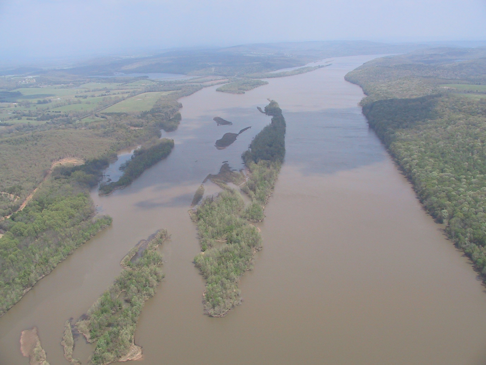
The Arkansas River

Muskogee power plant

This is a tree.

Arkansas


Fort Smith, 10x zoom


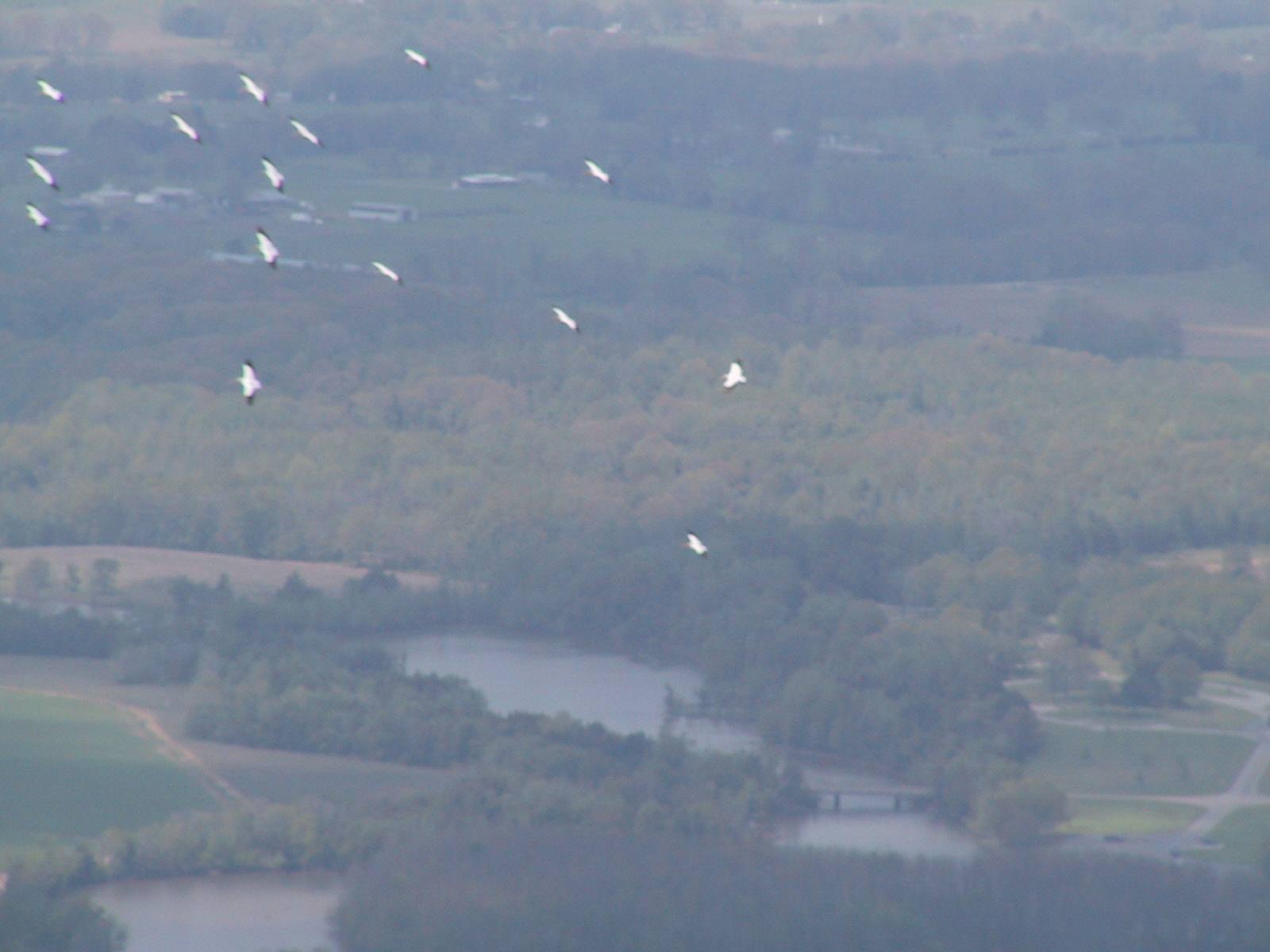
Pelicans
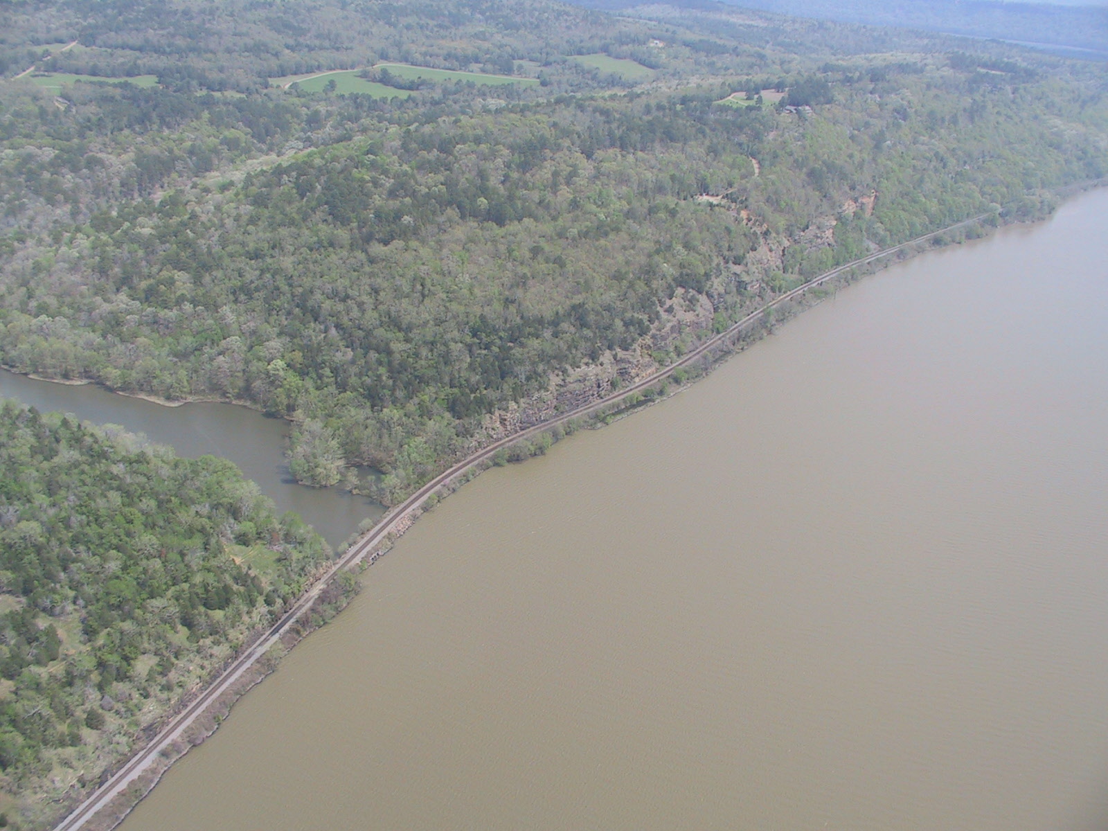
Railroad tracks along the Arkansas
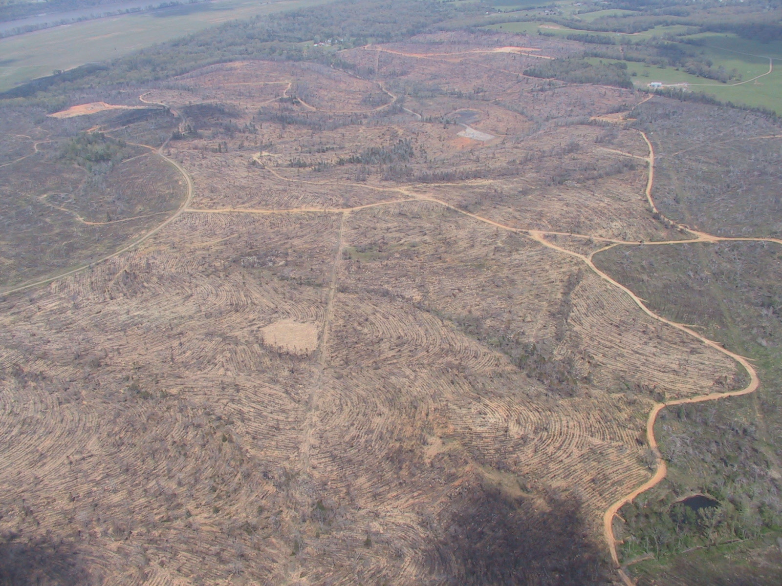
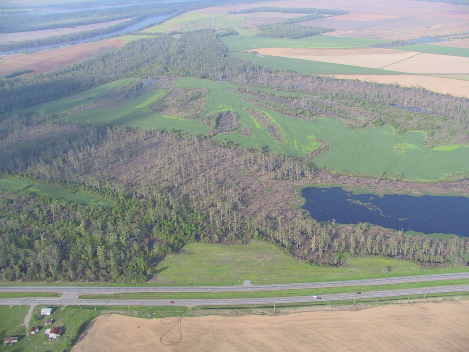
logging
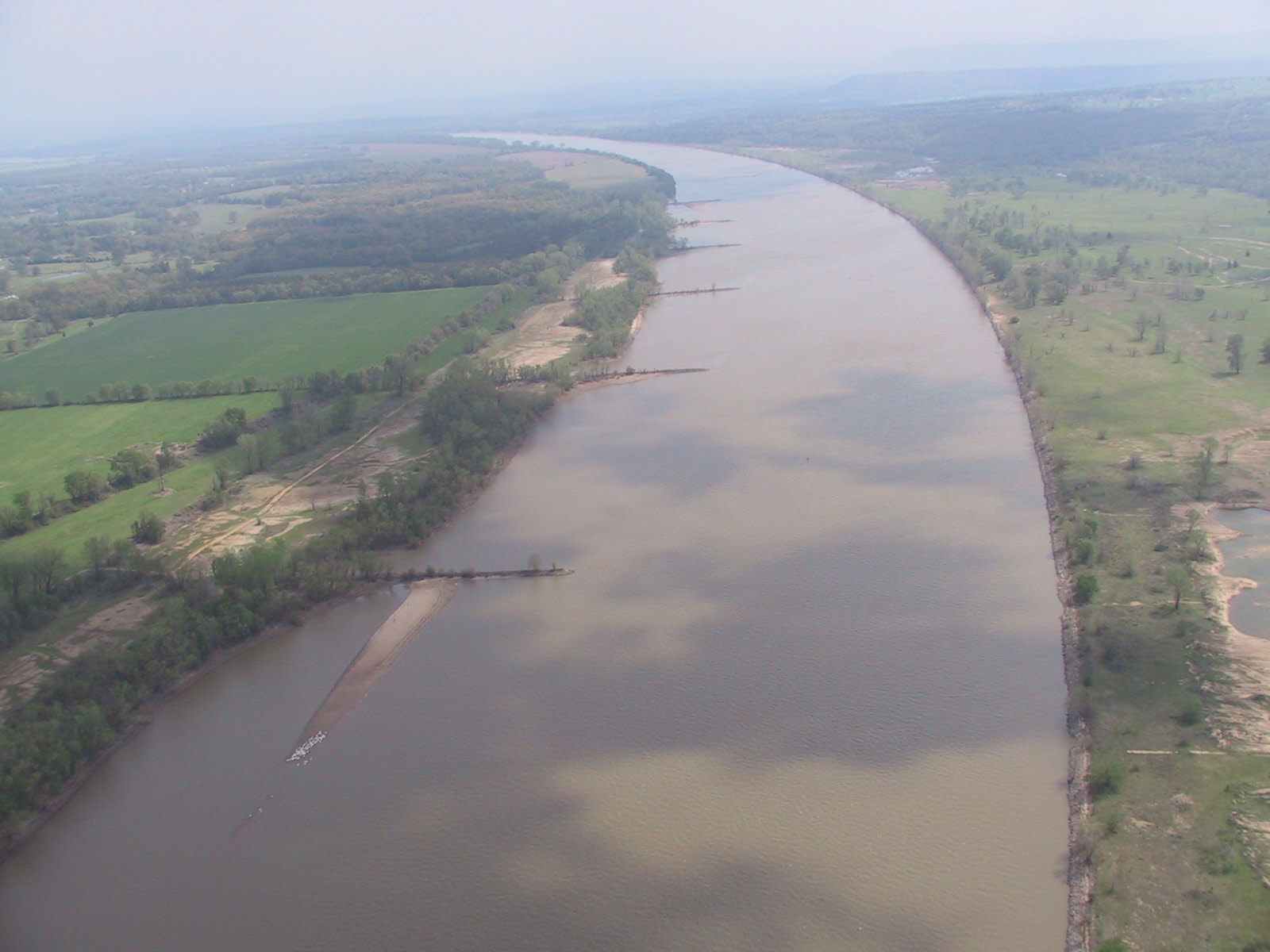
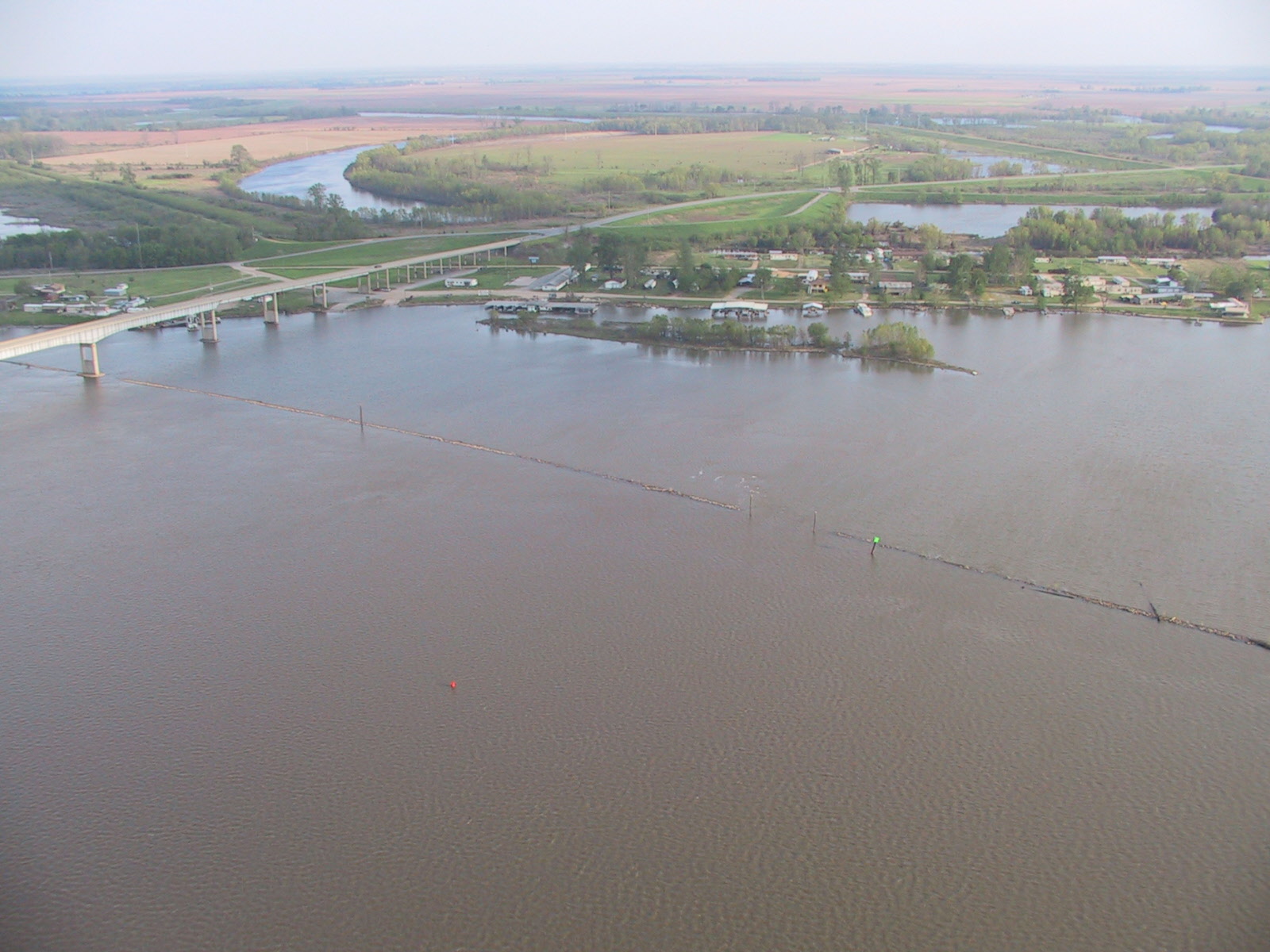
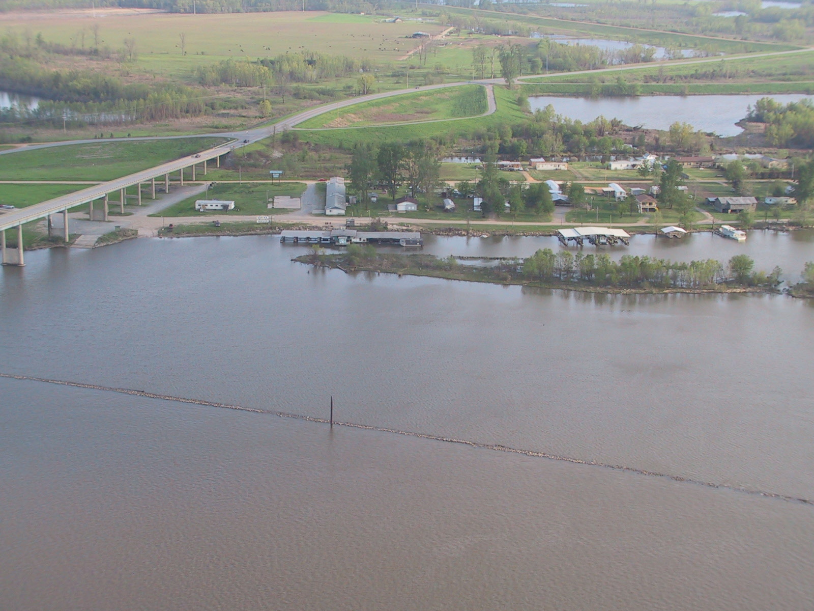
breakwaters
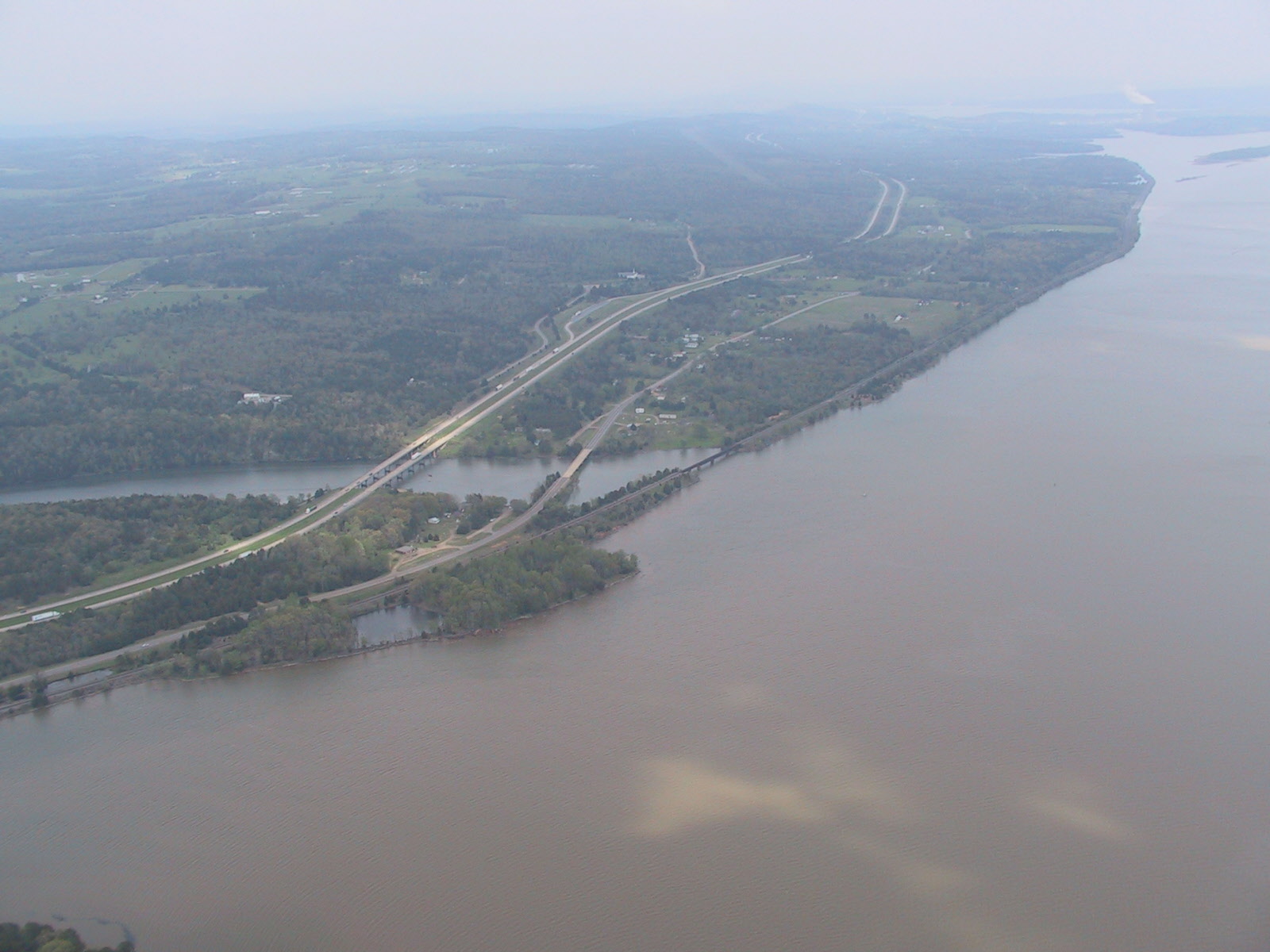
I40 near Russellville

Power


Pine Bluff


We spent the night here on our boat trip. It's just a file miles from the Mississippi
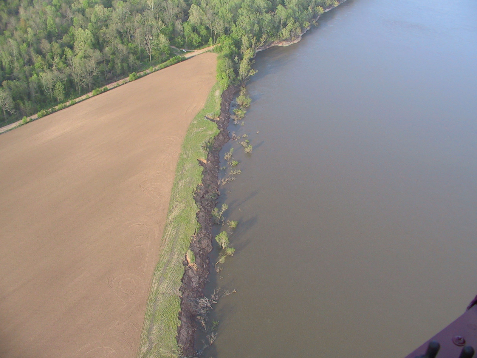
A little erosion
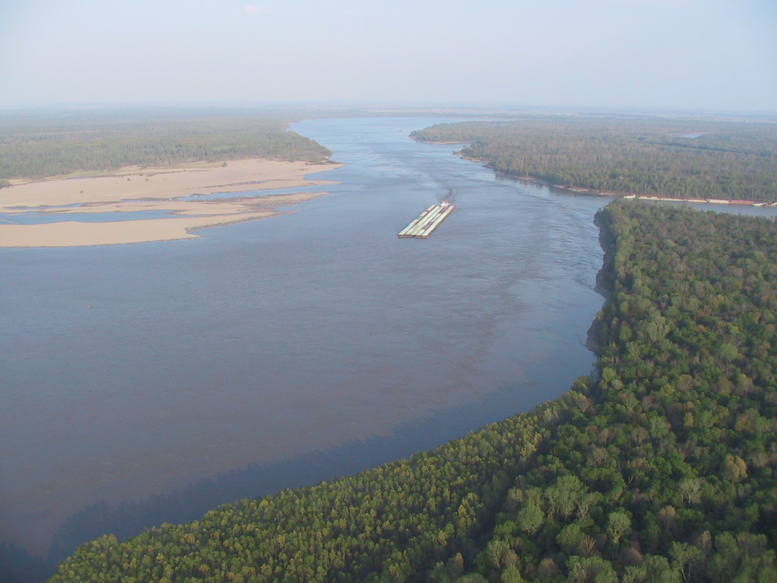
The Mississippi


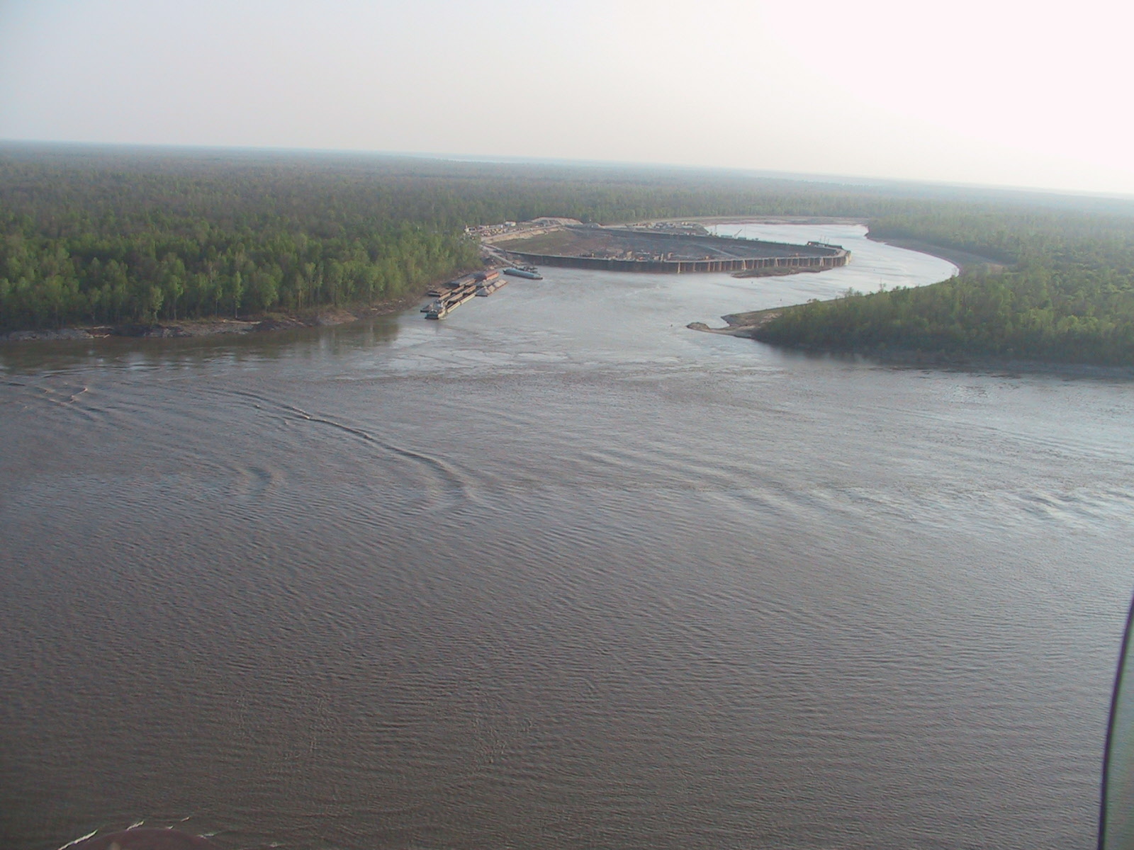
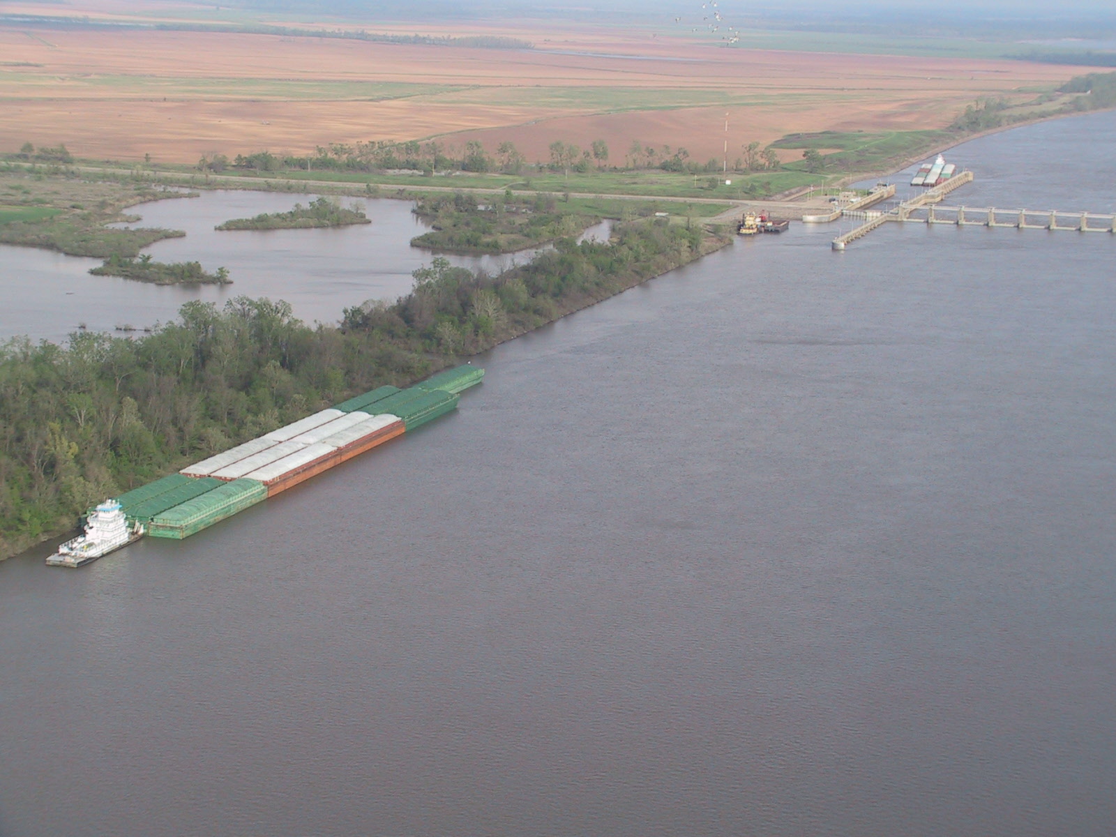
Here's where the navigation traffic goes from the Mississippi to the Arkansas.
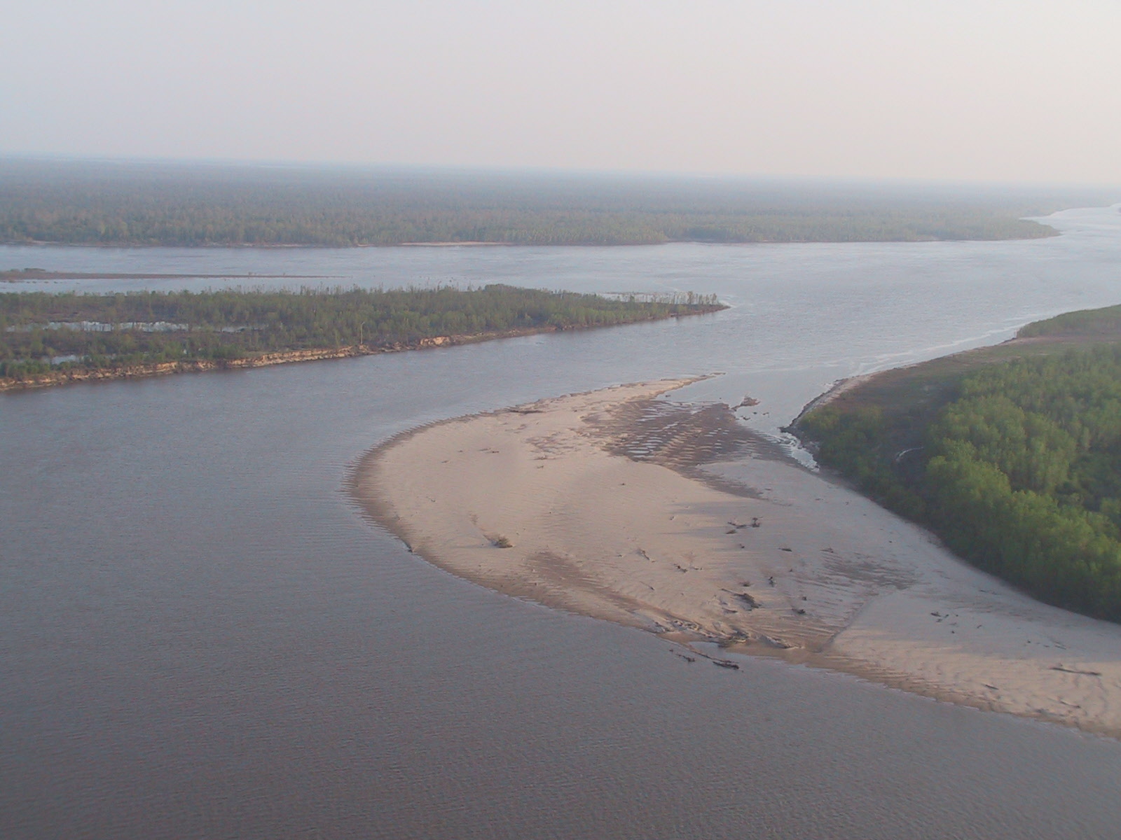
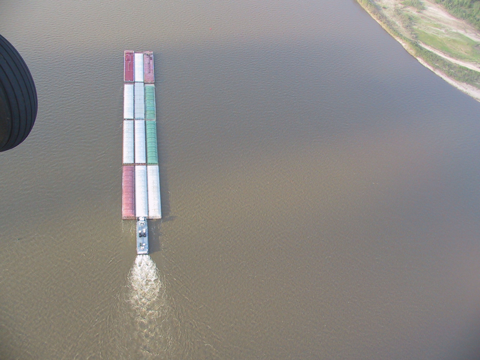
This is the Arkansas running into the Mississippi (looking East)