-
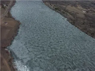
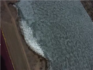
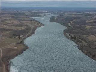 The Mississippi was frozen north of St. Cloud.
-
-
-
-
-
-
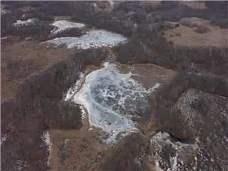
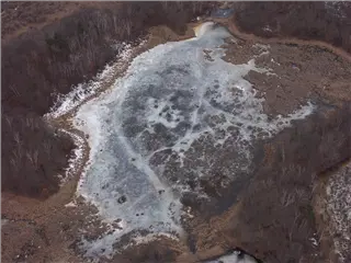
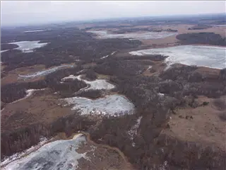
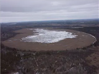
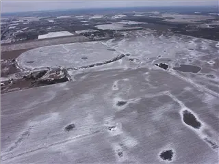
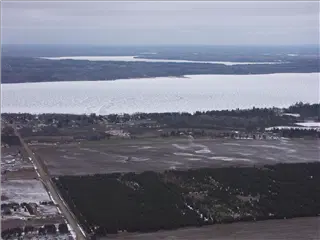
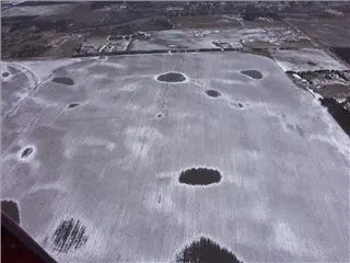
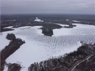
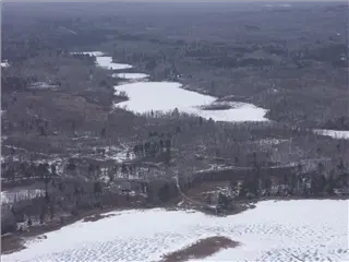
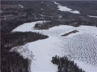
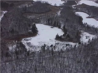
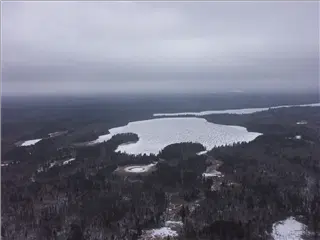
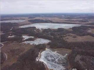 Most of Minnesota's 10,000 lakes looked frozen.
-
-
-
-
-
-
-
-

-

-
-
-
-
-
-
-
-
-
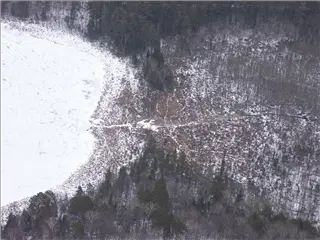
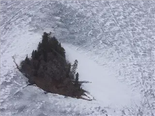
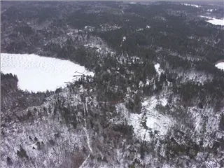 Lake Itasca, the source of the Mississippi River
-
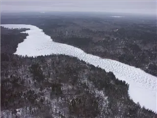 Lake Itasca, the source of the Mississippi River
-
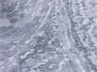
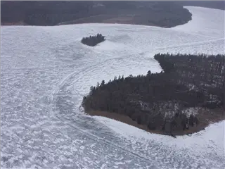 Snowmobile tracks on Lake Itasca, the source of the Mississippi River
-
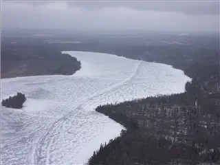 Snowmobile tracks on Lake Itasca, the source of the Mississippi River
-
-
-
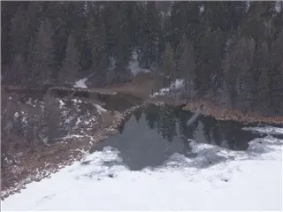 This is the beginning of the Mississippi River, where it flows out of Lake Itasca. Those streaks in the picture are snowflakes -- it was cold!
-
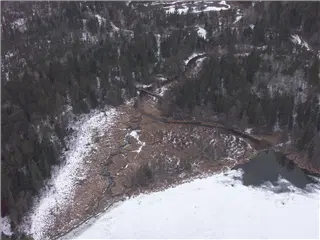 The source of the Mississippi.
-
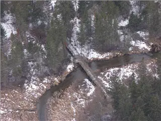 The first bridge across the Mississippi.
-
-
-
-
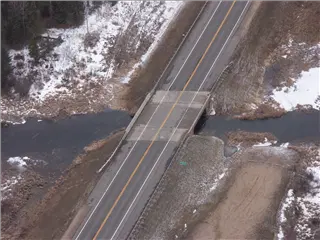 The first auto bridge across the Mississippi
-
-
-
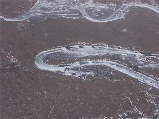
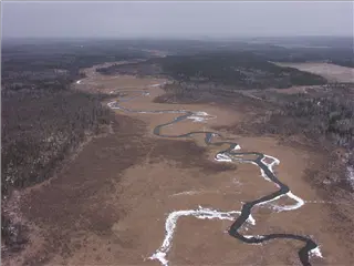
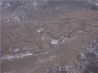
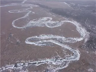 A few miles below the lake, the river was frozen.
-
