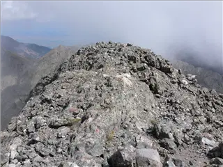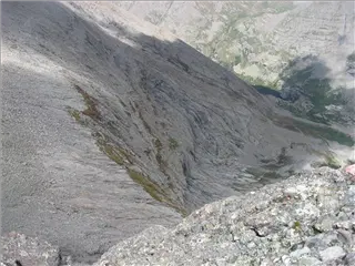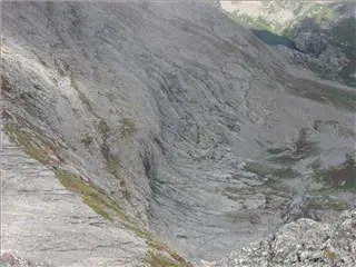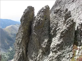
![IMG_1256.JPG, 1600x1200 IMG_1256.JPG](small_IMG_1256.jpg)
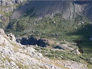
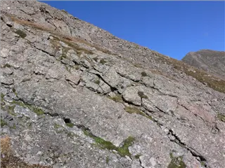
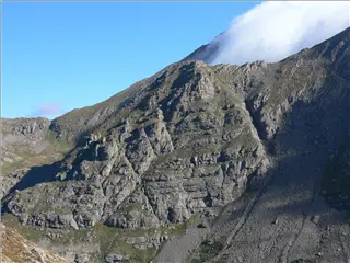
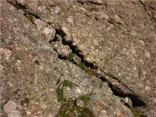
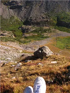
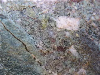
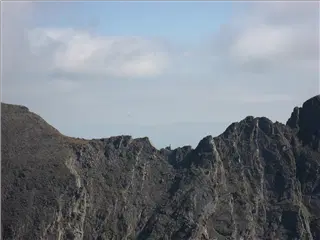
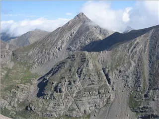
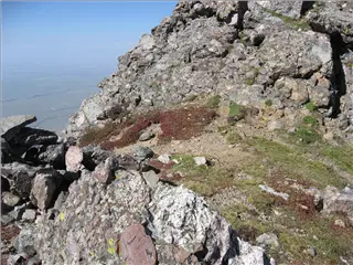
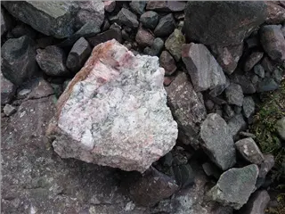
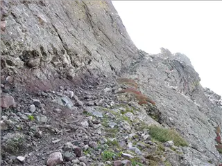
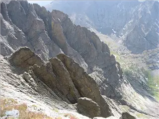
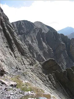
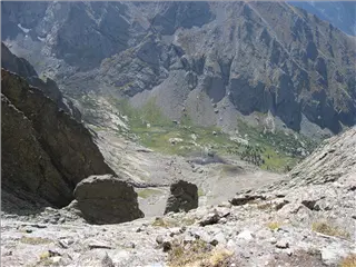
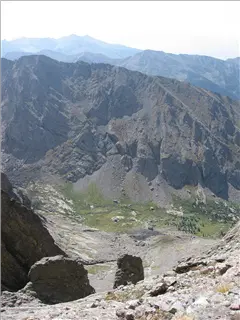
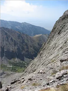
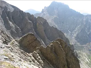
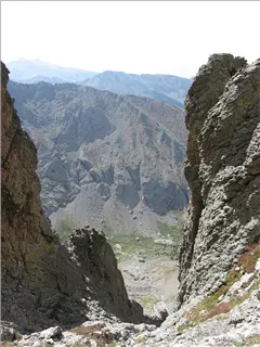
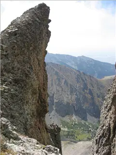
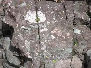
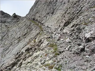
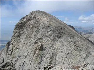
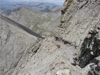
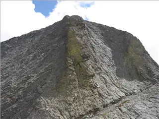
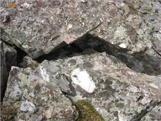
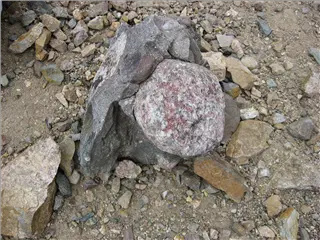
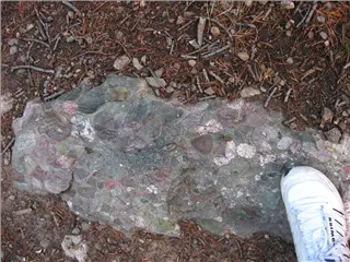
Crestone Conglomerate
Altitude 10,565 ft (3,220 m)
-map-
![IMG_1262.jpg, 1600x1200 IMG_1262.jpg](small_IMG_1262.jpg)
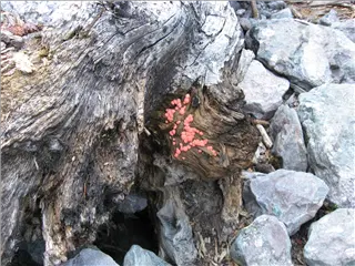
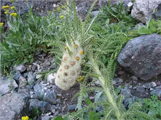
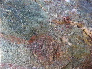
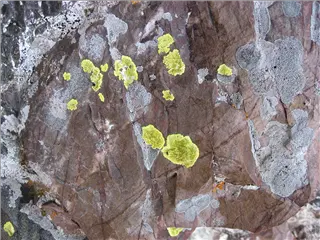
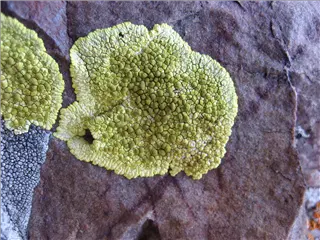
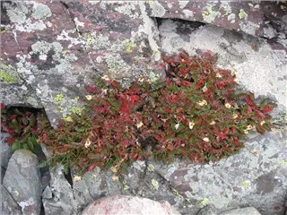
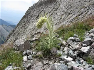
Weird fungus
Altitude 10,925 ft (3,330 m)
-map-
![IMG_1264.jpg, 1600x1200 IMG_1264.jpg](small_IMG_1264.jpg)
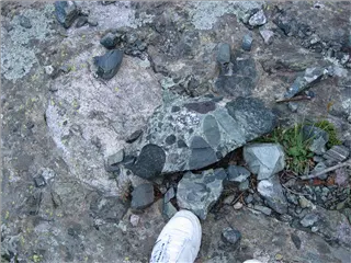
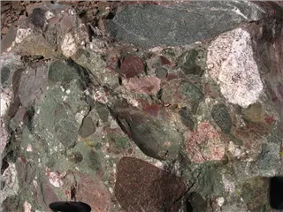
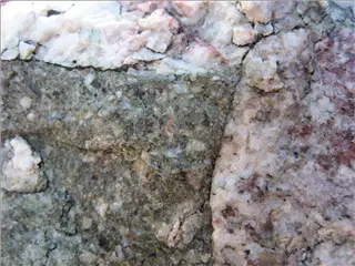
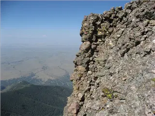
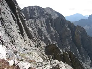
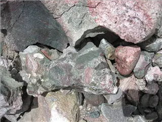
Crestone conglomerate
Altitude 10,989 ft (3,349 m)
-map-
![IMG_1265.jpg, 1600x1200 IMG_1265.jpg](small_IMG_1265.jpg)
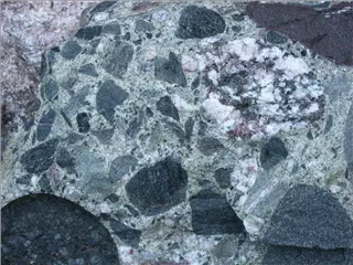
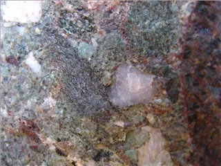
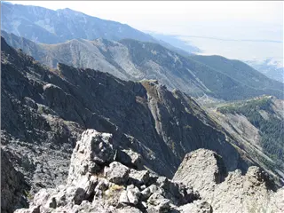
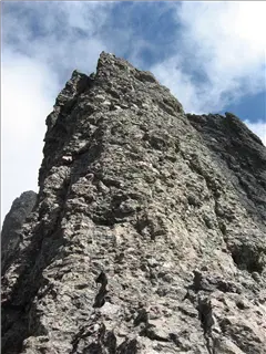
Crestone conglomerate
Altitude 10,989 ft (3,349 m)
-map-
Altitude 11,195 ft (3,412 m)
-map-
Altitude 11,195 ft (3,412 m)
-map-
Altitude 11,195 ft (3,412 m)
-map-
Altitude 11,616 ft (3,541 m)
-map-
![IMG_1284.jpg, 1600x1200 IMG_1284.jpg](small_IMG_1284.jpg)
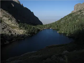
Willow Lake
Altitude 11,836 ft (3,608 m)
-map-
![P1170597.jpg, 1600x1200 P1170597.jpg](small_P1170597.jpg)
You can see the trail on the far side
Altitude 12,282 ft (3,744 m)
-map-
Altitude 12,282 ft (3,744 m)
-map-
Altitude 12,309 ft (3,752 m)
-map-
Altitude 12,345 ft (3,763 m)
-map-
Altitude 12,347 ft (3,763 m)
-map-
![IMG_1292.jpg, 1600x1200 IMG_1292.jpg](small_IMG_1292.jpg)
Crestone conglomerate
Altitude 13,388 ft (4,081 m)
-map-
![IMG_1293.jpg, 1600x1200 IMG_1293.jpg](small_IMG_1293.jpg)
Crestone conglomerate
Altitude 13,390 ft (4,081 m)
-map-
![IMG_1294.jpg, 1600x1200 IMG_1294.jpg](small_IMG_1294.jpg)
Crestone conglomerate
Altitude 13,391 ft (4,082 m)
-map-
![IMG_1296.jpg, 1600x1200 IMG_1296.jpg](small_IMG_1296.jpg)
Crestone conglomerate
Altitude 13,396 ft (4,083 m)
-map-
![IMG_1297.jpg, 1600x1200 IMG_1297.jpg](small_IMG_1297.jpg)
Crestone conglomerate
Altitude 13,401 ft (4,085 m)
-map-
![IMG_1298.jpg, 1600x1200 IMG_1298.jpg](small_IMG_1298.jpg)
Crestone conglomerate
Altitude 13,554 ft (4,131 m)
-map-
![IMG_1299.jpg, 1600x1200 IMG_1299.jpg](small_IMG_1299.jpg)
Crestone conglomerate
Altitude 13,554 ft (4,131 m)
-map-
![IMG_1300.jpg, 1600x1200 IMG_1300.jpg](small_IMG_1300.jpg)
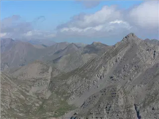
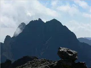
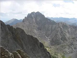
A sharp point on the ridge across from Challenger Point
Altitude 13,555 ft (4,132 m)
-map-
![IMG_1302.jpg, 1600x1200 IMG_1302.jpg](small_IMG_1302.jpg)
North of Willow Lake
Altitude 13,556 ft (4,132 m)
-map-
![IMG_1307.jpg, 1600x1200 IMG_1307.jpg](small_IMG_1307.jpg)
The Valley to the west
Altitude 13,909 ft (4,240 m)
-map-
![IMG_1308.jpg, 1600x1200 IMG_1308.jpg](small_IMG_1308.jpg)
North of Willow Lake
Altitude 13,909 ft (4,240 m)
-map-
![IMG_1309.jpg, 1600x1200 IMG_1309.jpg](small_IMG_1309.jpg)
The ridge up to Challenger Point
Altitude 13,909 ft (4,240 m)
-map-
Altitude 13,906 ft (4,238 m)
-map-
Altitude 13,954 ft (4,253 m)
-map-
![P1170600.jpg, 1600x1200 P1170600.jpg](small_P1170600.jpg)
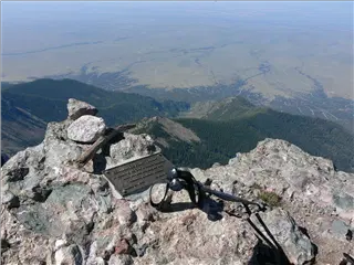
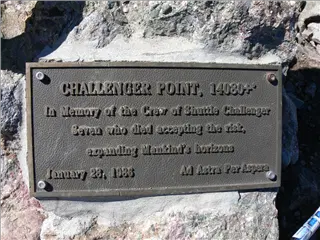
Challenger Point
Altitude 14,119 ft (4,303 m)
-map-
![P1170601.jpg, 1600x1200 P1170601.jpg](small_P1170601.jpg)
Challenger Point
Altitude 14,119 ft (4,303 m)
-map-
Altitude 14,119 ft (4,303 m)
-map-
![P1170605.jpg, 1600x1200 P1170605.jpg](small_P1170605.jpg)
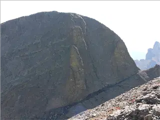
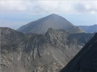
Kit Carson Peak. The green stripes are lichens.
Altitude 14,119 ft (4,303 m)
-map-
![P1170609.jpg, 1600x1200 P1170609.jpg](small_P1170609.jpg)
Odd layers
Altitude 14,119 ft (4,303 m)
-map-
![P1170611.jpg, 1600x1200 P1170611.jpg](small_P1170611.jpg)
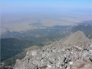
The town of Crestone
Altitude 14,119 ft (4,303 m)
-map-
![P1170620.jpg, 1600x1200 P1170620.jpg](small_P1170620.jpg)
The top of Kit Carson Peak
Altitude 14,119 ft (4,303 m)
-map-
Altitude 14,119 ft (4,303 m)
-map-
Altitude 14,119 ft (4,303 m)
-map-
![IMG_1317.jpg, 1600x1200 IMG_1317.jpg](small_IMG_1317.jpg)
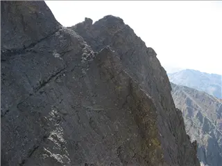
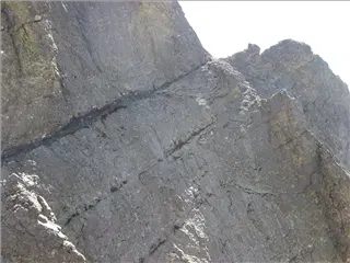
The route up Kit Carson is along the "avenue" in the upper left. That's the big crack sloping up from left to right. It's actually pretty easy to walk on. It's bigger than it looks here.
Altitude 13,960 ft (4,255 m)
-map-
![IMG_1320.jpg, 1600x1200 IMG_1320.jpg](small_IMG_1320.jpg)
The avenue
Altitude 13,959 ft (4,255 m)
-map-
![IMG_1321.jpg, 1600x1200 IMG_1321.jpg](small_IMG_1321.jpg)
The saddle between Challenger Point and Kit Carson
Altitude 13,959 ft (4,255 m)
-map-
![IMG_1325.jpg, 1600x1200 IMG_1325.jpg](small_IMG_1325.jpg)
The avenue
Altitude 13,903 ft (4,238 m)
-map-
![IMG_1326.jpg, 1600x1200 IMG_1326.jpg](small_IMG_1326.jpg)
Lichen
Altitude 13,908 ft (4,239 m)
-map-
![IMG_1332.jpg, 1600x1200 IMG_1332.jpg](small_IMG_1332.jpg)
Lichen
Altitude 13,911 ft (4,240 m)
-map-
![IMG_1336.jpg, 1600x1200 IMG_1336.jpg](small_IMG_1336.jpg)
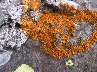
Orange lichen
Altitude 13,914 ft (4,241 m)
-map-
![IMG_1338.jpg, 1600x1200 IMG_1338.jpg](small_IMG_1338.jpg)
Diamonds!
Altitude 13,928 ft (4,245 m)
-map-
![IMG_1339.jpg, 1600x1200 IMG_1339.jpg](small_IMG_1339.jpg)
More of the avenue
Altitude 13,928 ft (4,245 m)
-map-
Altitude 13,994 ft (4,265 m)
-map-
![IMG_1345.jpg, 1600x1200 IMG_1345.jpg](small_IMG_1345.jpg)
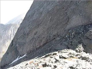
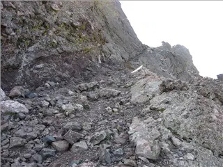
The "avenue" goes around a corner and then slopes down. You have to walk down for a while unless you want to climb that cliff on the left.
Altitude 14,009 ft (4,270 m)
-map-
Altitude 14,008 ft (4,270 m)
-map-
![IMG_1348.jpg, 1600x1200 IMG_1348.jpg](small_IMG_1348.jpg)
A steep drop
Altitude 13,985 ft (4,263 m)
-map-
Altitude 13,984 ft (4,262 m)
-map-
![IMG_1351.jpg, 1600x1200 IMG_1351.jpg](small_IMG_1351.jpg)
A steep drop
Altitude 13,956 ft (4,254 m)
-map-
![IMG_1353.jpg, 1200x1600 IMG_1353.jpg](small_IMG_1353.jpg)
A steep drop
Altitude 13,954 ft (4,253 m)
-map-
![IMG_1354.jpg, 1200x1600 IMG_1354.jpg](small_IMG_1354.jpg)
A steep drop
Altitude 13,954 ft (4,253 m)
-map-
Altitude 13,953 ft (4,253 m)
-map-
Altitude 13,861 ft (4,225 m)
-map-
Altitude 13,844 ft (4,220 m)
-map-
![IMG_1367.jpg, 1600x1200 IMG_1367.jpg](small_IMG_1367.jpg)
Cracked Crestone conglomerate
Altitude 13,844 ft (4,220 m)
-map-
Altitude 14,190 ft (4,325 m)
-map-
Altitude 14,190 ft (4,325 m)
-map-
![P1170632.jpg, 1600x1200 P1170632.jpg](small_P1170632.jpg)
Challenger Point, from Kit Carson Peak
Altitude 14,185 ft (4,324 m)
-map-
![P1170635.jpg, 1600x1200 P1170635.jpg](small_P1170635.jpg)
Kit Carson Peak
Altitude 14,185 ft (4,324 m)
-map-
![IMG_1379.jpg, 1600x1200 IMG_1379.jpg](small_IMG_1379.jpg)
That's willow lake. I hiked around the far end of it, then up the slope on the left.
Altitude 14,184 ft (4,323 m)
-map-
Altitude 14,184 ft (4,323 m)
-map-
Altitude 13,795 ft (4,205 m)
-map-
![IMG_1385.jpg, 1600x1200 IMG_1385.jpg](small_IMG_1385.jpg)
Headed back up the avenue
Altitude 13,797 ft (4,205 m)
-map-
Altitude 13,811 ft (4,210 m)
-map-
Altitude 13,812 ft (4,210 m)
-map-
Altitude 13,824 ft (4,214 m)
-map-
![IMG_1392.jpg, 1600x1200 IMG_1392.jpg](small_IMG_1392.jpg)
Challenger Point from the east. I hiked along the ridge.
Altitude 13,956 ft (4,254 m)
-map-
![IMG_1396.jpg, 1600x1200 IMG_1396.jpg](small_IMG_1396.jpg)
The avenue near the saddle
Altitude 13,961 ft (4,255 m)
-map-
![IMG_1399.jpg, 1600x1200 IMG_1399.jpg](small_IMG_1399.jpg)
Green lichen
Altitude 13,899 ft (4,236 m)
-map-
Altitude 13,967 ft (4,257 m)
-map-
Altitude 13,901 ft (4,237 m)
-map-
Altitude 12,806 ft (3,903 m)
-map-
![IMG_1409.jpg, 1600x1200 IMG_1409.jpg](small_IMG_1409.jpg)
Kit Carson Peak on the right
Altitude 12,804 ft (3,903 m)
-map-
![IMG_1411.jpg, 1600x1200 IMG_1411.jpg](small_IMG_1411.jpg)
Kit Carson Peak
Altitude 12,091 ft (3,685 m)
-map-
![IMG_1412.jpg, 1600x1200 IMG_1412.jpg](small_IMG_1412.jpg)
Willow Lake is hidden in this valley
Altitude 12,089 ft (3,685 m)
-map-
![P1170653.jpg, 1600x1200 P1170653.jpg](small_P1170653.jpg)
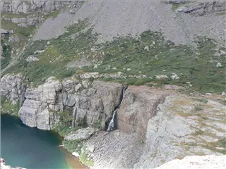
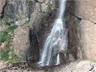
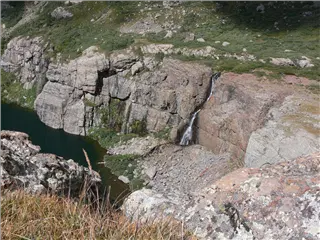
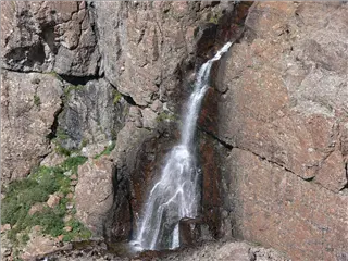
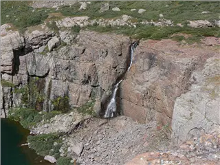
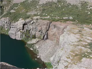
Willow Falls
Altitude 12,032 ft (3,667 m)
-map-
![P1170655.jpg, 1600x1200 P1170655.jpg](small_P1170655.jpg)
Willow Falls
Altitude 12,032 ft (3,667 m)
-map-
![P1170660.jpg, 1600x1200 P1170660.jpg](small_P1170660.jpg)
Willow Falls
Altitude 12,032 ft (3,667 m)
-map-
![P1170663.jpg, 1600x1200 P1170663.jpg](small_P1170663.jpg)
Willow Falls
Altitude 12,032 ft (3,667 m)
-map-
![P1170666.jpg, 1600x1200 P1170666.jpg](small_P1170666.jpg)
Willow Falls
Altitude 12,031 ft (3,667 m)
-map-
![P1170667.jpg, 1600x1200 P1170667.jpg](small_P1170667.jpg)
Willow Falls
Altitude 12,031 ft (3,667 m)
-map-
Altitude 11,752 ft (3,582 m)
-map-
Altitude 11,752 ft (3,582 m)
-map-
![IMG_1426.JPG, 1526x1194 IMG_1426.JPG](small_IMG_1426.jpg)
Bumblebee
Altitude 11,751 ft (3,582 m)
-map-
![IMG_1441.jpg, 1200x1600 IMG_1441.jpg](small_IMG_1441.jpg)
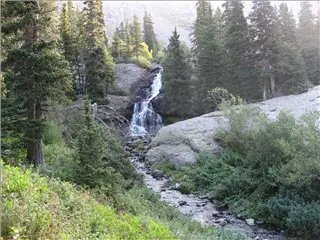
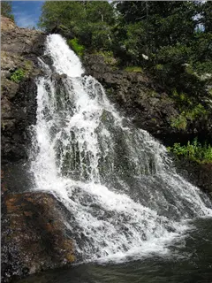
The falls below Willow Lake
Altitude 11,603 ft (3,537 m)
-map-
Altitude 11,479 ft (3,499 m)
-map-
Altitude 11,478 ft (3,499 m)
-map-
Altitude 11,017 ft (3,358 m)
-map-