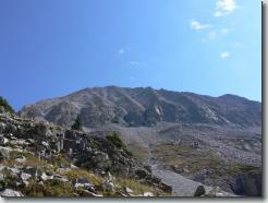
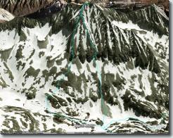
Snowmass Mountain. I went up the ridge on the left, came down the one two over from the left.
Altitude 11,726 ft (3,574 m)
-map-
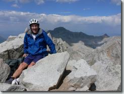
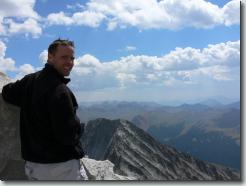
Me on top.
Altitude 14,117 ft (4,303 m)
-map-
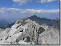
Capitol Peak, with Daly at the right edge of the picture.
Altitude 14,117 ft (4,303 m)
-map-
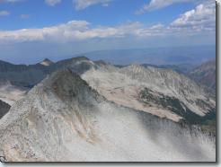
Altitude 14,117 ft (4,303 m)
-map-
Altitude 14,117 ft (4,303 m)
-map-
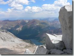
Snowmass Lake
Altitude 14,117 ft (4,303 m)
-map-
Altitude 14,117 ft (4,303 m)
-map-
Altitude 14,117 ft (4,303 m)
-map-
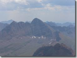
Maroon Bells
Altitude 14,117 ft (4,303 m)
-map-
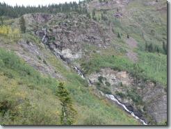
Falls on the trail to Geneva Lake
Altitude 10,294 ft (3,138 m)
-map-
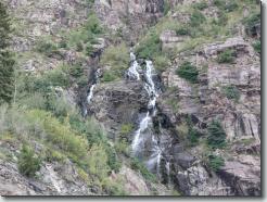
Falls on the trail to Geneva Lake
Altitude 10,293 ft (3,137 m)
-map-
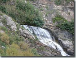
Falls on the trail to Geneva Lake
Altitude 10,292 ft (3,137 m)
-map-
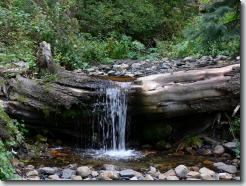
A creek on the road back to Marble
Altitude 9,725 ft (2,964 m)
-map-
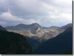
from the road
Altitude 10,079 ft (3,072 m)
-map-
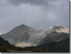
from the road
Altitude 10,163 ft (3,098 m)
-map-
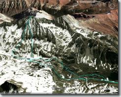
Intel(R) JPEG Library, version [2.0.16.48]
Intel(R) JPEG Library, version [2.0.16.48]